What is recorded here
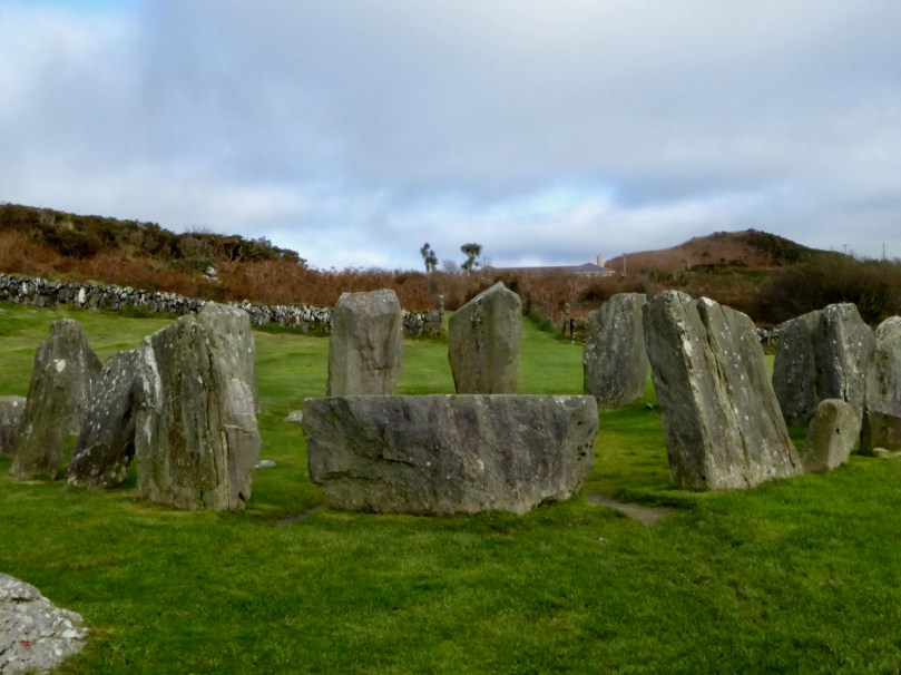
Dooneens holds a twenty-four metre stone ring on a north-facing slope above the River Laney. Farmers later dumped field clearance stones into the ancient line, thickening the rampart rather than destroying it. The chamber may still hide a man-made passage beneath its pasture floor, waiting for someone brave enough to stop guessing and look.
In pasture, on N-facing slope, overlooking River Laney. Circular area (diam. 24m) defined by stone wall (H 1.2m); used as dumping ground for field clearance stones. Hartnett (1939, 55) noted 'rampart' of dry-stone walling partly built up in 'recent years', on line of original foundation. Possible Man-made underground passage (CO049-054----) in interior.
The above description is derived from the published 'Archaeological Inventory of County Cork. Volume 3: Mid Cork' (Dublin: Stationery Office, 1997). In certain instances the entries have been revised and updated in the light of recent research.
Date of upload/revision: 14 January 2009
The monument record does not grant public access. Check the route and ask the landowner before entering private land.
- What survives
- Recorded monument
Places near here
 Man-made underground passage in Dooneens (muskerry East By.)Man-made underground passage · 1 yd
 Stone CircleCairn, radial-stone cairn · 569 yd
 KilnKiln, lime · 961 yd
 Carrigagulla HouseCountry house · 1335 yd
 BurrenMountain / peak · 2.0 mi
 Knockduff Wind FarmVisitor information · 2.3 mi
 Knockcraugh HillMountain / peak · 2.5 mi
 Clonavrick CliffCliff · 3.4 mi
 Black WoodWood · 3.8 mi
 Paddy Mulcahey 2009Memorial · 4.3 mi
 Standing Stone ? At J WellMemorial · 4.6 mi
 Mullinhassig WaterfallWaterfall · 4.7 mi