What is recorded here
Doogarraun holds a broken stone ring where twenty-seven houses once stood before men cleared the walls and piled the rubble into fake forts. The real boundary may still hide beneath a curving line of boulders, while an underground passage waits below the pasture. What looks like a fairy trick may be only human forgetfulness, shaped by hunger, fear or pride.
In rough pastureland. Marked on the OS 6-inch maps as a subcircular enclosure (c. 36m NW-SE; c. 26m NE-SW) and on the 1838 edition a roofed building is shown in the SE quadrant of the interior. Classified by McCaffrey (1952, 257, no. 2a) as a ‘Stone fort’. The building has been levelled and the resulting material may have been piled from NNE to SE where a curving line of boulders, faced externally, may mirror and obscure the line of the cashel. From SE to NNE a slight rise may indicate its line. According to local information, there were 27 houses in this area but most of them have been knocked down. When the stones were cleared they were often piled into rings, known locally as 'Lochtains'. A Man-made underground passage (GA105-079001-) is associated.
Compiled by: Galway Archaeological Survey, UCG
Date of upload: 8 December 2017
The monument record does not grant public access. Check the route and ask the landowner before entering private land.
- What survives
- Recorded monument
Places near here
 Kilconickny Church (in ruins)Church · 573 yd
 St. Faelans WellsHoly well · 589 yd
 Killian Chapel (in ruins)Church · 743 yd
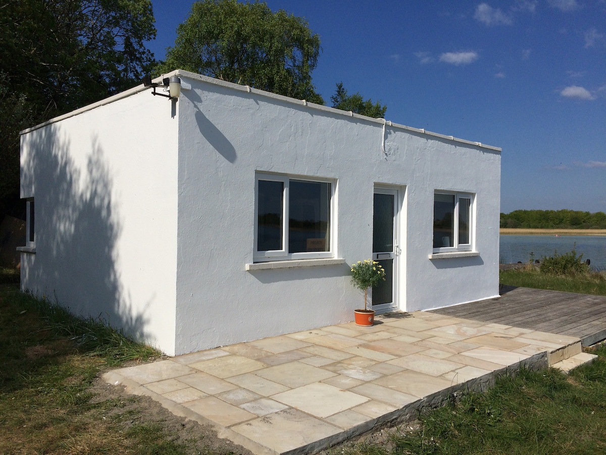 Enclosure in Carrowbaun (loughrea By.)Enclosure · 979 yd
 Cloghastookeen Castle (in ruins)Castle, unclassified · 1.2 mi
 Site of Cloonoo CastleCastle, unclassified · 1.6 mi
 Blake's IslandIslet · 2.9 mi
 Barrack IslandIslet · 3.2 mi
 Turoe StoneHeritage attraction · 3.8 mi
 Long PointHeadland · 4.0 mi
 Moyard WoodWood · 4.1 mi
 Scalpeen RockNamed rock · 6.9 mi