What is recorded here
No visible fort exists at Derrylina today. The land has swallowed the stones or never formed them at all. What remains is a hidden chamber waiting for the right person to remember it into shape.
Marked 'Fort' on OS 1836 and 1876 eds. Situated on the summit of a low drumlin hill. Davies (ITA Survey 1942) speculated that this may be the remains of a ruined cashel. Not visible at ground level.
The above description is derived from the published 'Archaeological Inventory of County Cavan' (Dublin: Stationery Office, 1995). In certain instances the entries have been revised and updated in the light of recent research.
Date of upload/revision: 22 December 2008
The monument record does not grant public access. Check the route and ask the landowner before entering private land.
- What survives
- Recorded monument
Places near here
 IndicatedFairy fort / stone ringfort · 507 yd
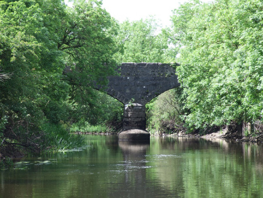 Urney Bridgebridge · 639 yd
 DrumcalpinMountain / peak · 1059 yd
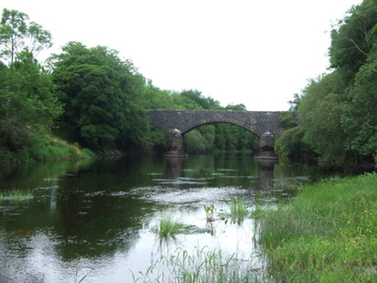 Baker's Bridgebridge · 1336 yd
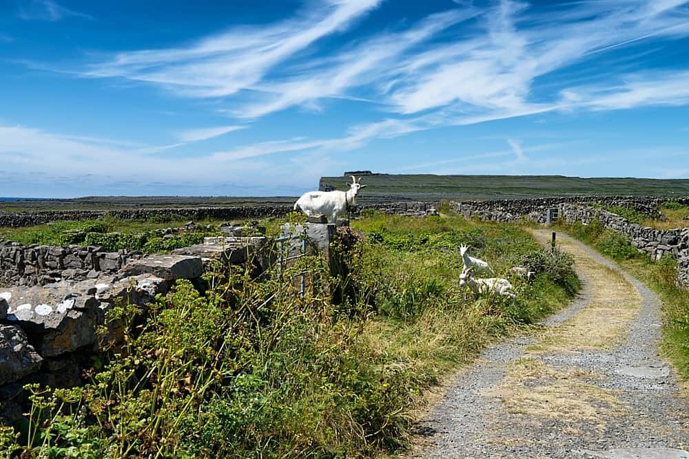 Granshagh or Riverview Fort (Site of)Enclosure · 1372 yd
 Annagh Lough BeachBeach / strand · 1668 yd
 AshgroveMountain / peak · 1734 yd
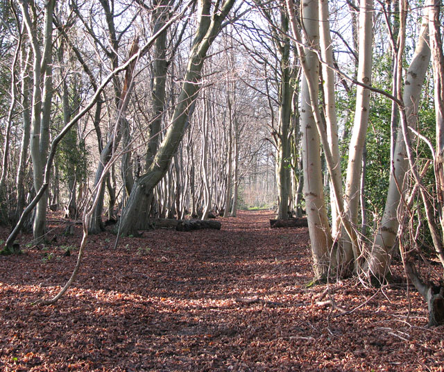 Kilnaglare Lower WoodForest · 1.1 mi
 Giants GraveArchaeological place · 1.4 mi
 InishmuckIsland · 1.5 mi
 Nahillah ParkWood · 1.6 mi
 Duck IslandIsland · 1.8 mi