What is recorded here
Magic and life both move through the Derry stone. The fairies may have danced there before humans arrived, but the red woman and her children also lived beside the stone, touched it, breathed near it and left life behind. The circle is not empty; it is a place where more than one kind of being has belonged.
Situated on a gentle S-facing slope. Listed as 'Enclosure' in the SMR (1992) and the RMP (1996). A circular grass-covered area with rock outcrop (int. diam.16m N-S; 16m E-W) defined by a stone spread (at E: Wth 1.8m; H 0.8m; at N: Wth 5.4m; H 0.5-0.8m) with no facing stones visible. The perimeter at S is overlain by an E-W masonry wall and S of this is reduced to a grass-covered scarp (H 0.6m). A house-site (CL026-023002-) is attached to the perimeter at S.
Compiled by: Mary Tunney
Date of upload: 3 May 2017
The monument record does not grant public access. Check the route and ask the landowner before entering private land.
- What survives
- Recorded monument
Places near here
 Enclosure in Derry (bunratty Upper By.)Enclosure · 57 yd
 Ballycarroll CaherFairy fort / stone ringfort · 785 yd
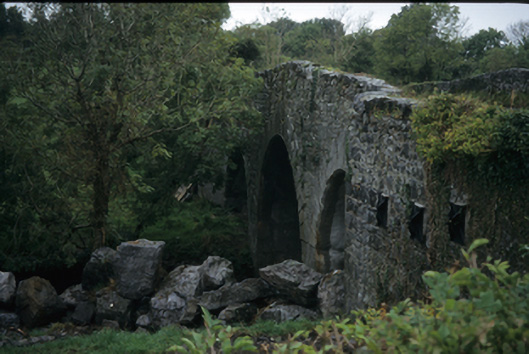 Nutfield Bridgebridge · 1256 yd
 Templehughoconnell (in Ruins)Church · 1326 yd
 CastleCastle, ringwork · 1.0 mi
 Ardcarney WoodWood · 1.2 mi
 Dromore WoodWood · 1.6 mi
 Portlecka Castle (in Ruins)Castle, tower house · 1.8 mi
 Battle of TullyodeaBattlefield · 3.4 mi
 Ennis AbbeyMuseum · 3.7 mi
 Clare MuseumMuseum · 3.8 mi
 Mulkere MemorialMemorial · 3.9 mi