What is recorded here
Thirty metres of forgotten stone circle a hollow on the Limerick slope, its collapsed bank barely rising above the grass. The fort belongs to nobody visible now, though the stones still mark a boundary drawn before memory. A house avenue skirts the southwest, proving the place remains useful even when its purpose has faded into green silence.
In wooded area, on E-facing slope. Circular area (diam. 30m) enclosed by collapsed stone bank (int. H 0.3m; ext. H 0.4m). Bank, best preserved E->SW, has lower external height along NW arc where it meets higher ground. Interior, heavily masked by vegetation overgrowth, is littered with loose stones from bank along its verge; slopes down gently to E. Recently constructed avenue leading to dwelling house, skirts enclosure on SW side.
Compiled by: Denis Power
Date of upload: 26 August 2011
The monument record does not grant public access. Check the route and ask the landowner before entering private land.
- What survives
- Recorded monument
Places near here
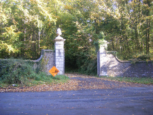 Curragh Chasedemesne walls/gates/railings · 361 yd
 CairnCairn, unclassified · 562 yd
 Celtic Cross Monument to Robert Stephen De VereMonument · 647 yd
 Little HeavenHeritage attraction · 1155 yd
 Curraghchase HouseRuins · 1244 yd
 Curraghchase Forest ParkForest · 1.1 mi
 European YewEuropean Yew · 1.4 mi
 CastleCastle, tower house · 1.6 mi
 Cappagh CastleCastle · 2.2 mi
 Flat cemetery in CroaghFlat cemetery · 2.9 mi
 European BeechEuropean Beech · 4.5 mi
 Flat cemetery in Kiltenan SouthFlat cemetery · 4.8 mi