What is recorded here
No doorway exists in the mossy oval, yet the excluded arc at the southeast suggests a hidden threshold rather than a broken wall. The fort stands on a wooded rise above Lough Nagall, waiting for someone bold enough to find its entrance.
On a rise in an area of woodland c. 70m NW of Lough Nagall. Hachured on the 1840 and 1920 OS 6-inch maps. An oval area (int. dims. 32m N-S; 28m E-W) defined by an ivy and moss-covered stone spread (Wth 3-5m; int. H 0.6-0.9m; ext. H 0.8m E-S to 1.5-1.6m W-N) which is most extensive (Wth 11m) at E. There is no visible entrance, but a stone spread (Wth 1.7m; H 0.4-0.6m) encloses an arc against the perimeter at SE (10m NNE-SSW; 6m WNW-ESE).
Compiled by: Michael Moore and Mary Tunney
Date of upload: 17 November 2025
The monument record does not grant public access. Check the route and ask the landowner before entering private land.
- What survives
- Recorded monument
Places near here
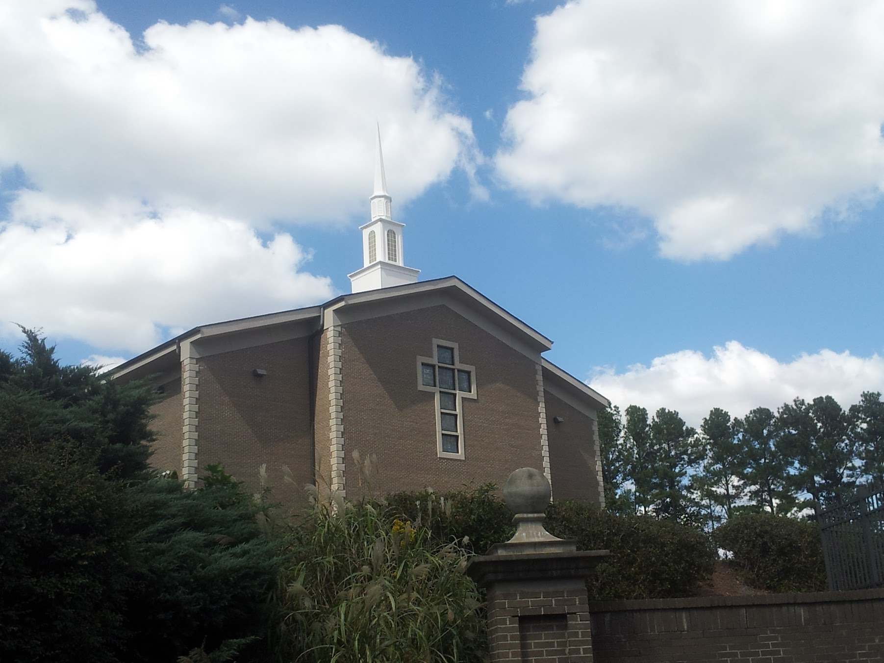 Church in KillianChurch · 820 yd
 Enclosure in Ballyline (bunratty Upper By.)Enclosure · 1408 yd
 Kilbakee Church (ruins)Ruins · 1527 yd
 Enclosure in BearnafunshinEnclosure · 1607 yd
 CastleCastle, ringwork · 1.2 mi
 Dromore CastleCastle · 1.2 mi
 Dromore WoodWood · 1.3 mi
 Mulkere MemorialMemorial · 2.1 mi
 Ballygriffy WoodWood · 2.9 mi
 Battle of TullyodeaBattlefield · 3.3 mi
 Poul na gollorCave · 7.3 mi
 Alice and Gwendoline CaveMuseum · 7.6 mi