What is recorded here
Fairy fort in Craggs, County Limerick: a broken stone ring on a steep limestone slope above the Robertstown River, cut back by quarrying. The wall still stands about one metre high in places, leaning across the circle like a boundary drawn in haste. People may have kept livestock, hidden tools or marked ownership there before the quarry took the west side. The stones do not explain themselves; they wait for someone to stop treating the land as dead.
Area of limestone outcrop, atop steep slope rising from estuary of Robertstown River to N and W. Formerly circular area (26m N-S), now truncated on W side by quarry, enclosed NNW->SSE by collapsed dry-stone wall (int. H 1m; ext. H 1.2m; Wth 1m) surviving to about three courses. Wall removed NW->NNW and SSE->SE where it approaches verge of quarry. Break in wall (Wth c. 4m) at SE. Interior uneven, strewn with stones and overgrown.
Compiled by: Denis Power
Date of upload: 26 August 2011
The monument record does not grant public access. Check the route and ask the landowner before entering private land.
- What survives
- Recorded monument
Places near here
 IndicatedFairy fort / stone ringfort · 371 yd
 Dysert Castle (in ruins)Castle, tower house · 538 yd
 Dysert CastleCastle · 540 yd
 Furnace in MulderricksfieldFurnace · 647 yd
 Robertstown Church (in ruins)Church · 1687 yd
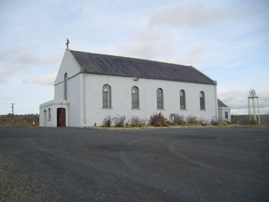 Saint Senan's Catholic Churchchurch/chapel · 1735 yd
 Holly IslandIslet · 2.4 mi
 Gammarel PointHeadland · 2.5 mi
 Foynes Flying Boat & Maritime MuseumMuseum · 2.5 mi
 Foynes Island ViewpointViewpoint · 2.7 mi
 Aughinish PointHeadland · 2.8 mi
 Tummera LittleIslet · 2.9 mi