What is recorded here
That is the shape of Cragard: a circular stone ring on a north-facing slope in County Clare, Ireland, still standing after centuries of rain and forgetting. People may have lived there, loved there, lost children there, or simply passed by and never spoken of it at all. The stones do not need praise. They continue the argument between human time and earth time, and they are winning.
On a N-facing slope in an area of dense scrub. Hachured on the 1840 and 1920 OS 6-inch maps. A circular overgrown area (int. diam. c. 20m) defined by a stone spread (Wth 5.4m-6.5m; int. H 0.6-1m; ext. H 0.6-0.8m) which could only be examined SE-SW. On inspection in 2004 the rest of the site was impenetrable.
Compiled by: Michael Moore and Mary Tunney
Date of upload: 17 November 2025
The monument record does not grant public access. Check the route and ask the landowner before entering private land.
- What survives
- Recorded monument
Places near here
 Enclosure in Drumquin (islands By.)Enclosure · 1406 yd
 Kilraghtis ChurchChurch · 1598 yd
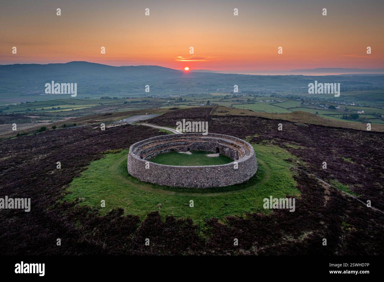 Cahereiny FortFairy fort / stone ringfort · 1718 yd
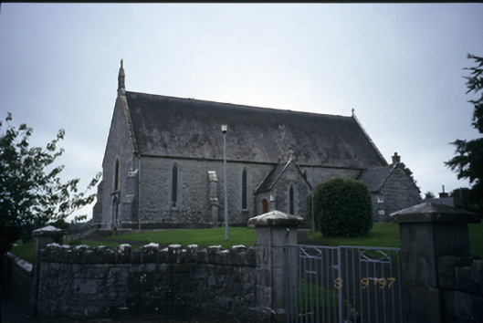 Catholic Church of the Immaculate Conceptionchurch/chapel · 1.3 mi
 CastleCastle, ringwork · 1.6 mi
 Dromore WoodWood · 2.0 mi
 Castle (in ruins)Castle, unclassified · 2.1 mi
 Kilcatherine GraveyardWood · 2.5 mi
 Mulkere MemorialMemorial · 2.9 mi
 Battle of TullyodeaBattlefield · 4.2 mi
 Ennis AbbeyMuseum · 4.4 mi
 Clare MuseumMuseum · 4.6 mi