What is recorded here
No visible gap, no obvious door, just a broken oval of stone and grass on the bluff edge. The fort may have had an entrance once, but that much has gone quiet under scrub, soil and time.
On the edge of a bluff (at W: H c. 10m) overlooking a valley with a small N-S just to the W. This is a grass-covered oval area (int. dims 27m N-S; 17.7m E-W) defined by a scrub-covered stone spread (Wth 3-4m; max. H 1m) which is best preserved SE-W. Facing-stones are intermittently visible, but the width of the wall cannot be gauged, and an original entrance is not identified. An abandoned house overlies the NE quadrant.
The above description is derived from 'The Archaeological Inventory of County Leitrim' compiled by Michael J. Moore (Dublin: Stationery Office, 2003). In certain instances the entries have been revised and updated in the light of recent research.
Date of upload: 23 September 2008
The monument record does not grant public access. Check the route and ask the landowner before entering private land.
- What survives
- Recorded monument
Places near here
 Green IslandIslet · 886 yd
 IndicatedFairy fort / stone ringfort · 1493 yd
 Enclosure in KilcoosyEnclosure · 1544 yd
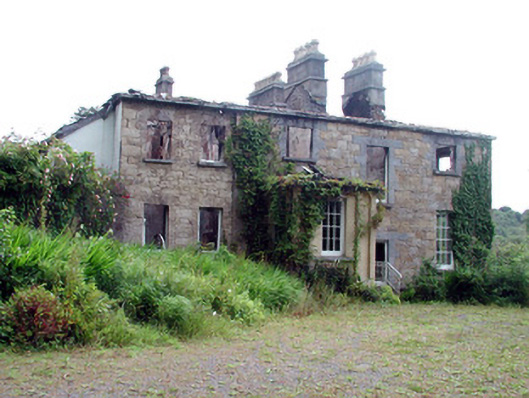 Drumlease Glebe Houserectory/glebe/vicarage/curate's house · 1686 yd
 Church in DrumleaseChurch · 1.4 mi
 Old HallCastle, hall-house · 1.6 mi
 Doonbran Isd.Bawn · 2.6 mi
 Cullentra ForestForest · 2.8 mi
 Parke's CastleHeritage attraction · 2.9 mi
 Trawane BayBay · 3.4 mi
 InnisfreeIslet · 3.5 mi
 BenboMountain / peak · 3.5 mi