What is recorded here
No visible castle wall, no tower room, no named owner. The edge is a shallow grassed ring, forty metres across, marked more by shadow and soil than stone. The underground passage is the clear human part: a cut space, not a natural cave. The fort name may be local folklore rather than recorded history.
On a rise in undulating grassland and rock outcrop. Poorly preserved circular cashel (diam. 40m)
defined by a grassed-over wall. A field wall cuts through the enclosing element at WNW and WSW. There is a Man-made underground passage (GA097-088001-) in the W sector of the interior.
Compiled by: Galway Archaeological Survey, UCG
Date of upload: 1 December 2017
The monument record does not grant public access. Check the route and ask the landowner before entering private land.
- What survives
- Recorded monument
Places near here
 Ballygasty Castle in ruinsCastle, unclassified · 1.0 mi
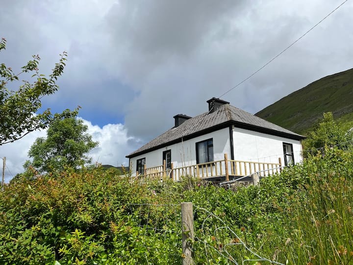 LisnagalhaghFairy fort / earthen ringfort · 1.0 mi
 St. Patricks WellHoly well · 1.2 mi
 Bawn in Cahernamuck WestBawn · 1.3 mi
 R.C. ChapelChurch · 1.3 mi
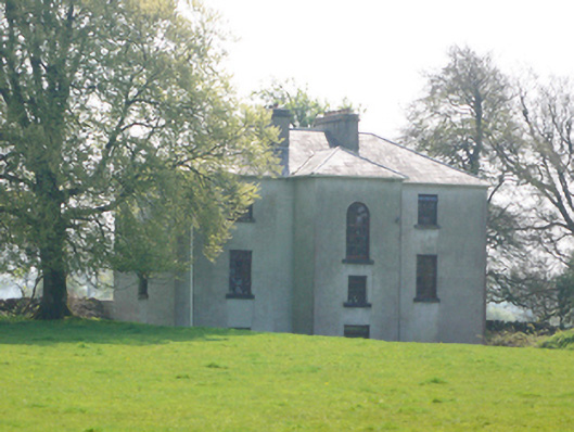 Lynchfort Househouse · 1.4 mi
 Turoe StoneHeritage attraction · 1.7 mi
 Barrack IslandIslet · 2.3 mi
 Middle IslandIslet · 2.3 mi
 Long PointHeadland · 3.0 mi
 Dartfield Horse MuseumHeritage attraction · 3.3 mi
 Scalpeen RockNamed rock · 7.8 mi