What is recorded here
Fairy fort in Cooleenlemane: circular stone ring, 16 by 18 metres, wall still standing about a metre high at the head of a U-shaped valley in County Cork. People called it a fairy fort because the shape and remote place suggested more than ordinary housing. It may have been a boundary marker, a watch point, a seasonal camp or a home for someone who no longer has a name. The stones do not explain themselves; they invite you to sit with the valley and remember that human life came and went before maps existed.
Circular area (16m N-S; 18m E-W) enclosed by ruined stone wall (H 1.1m; Wth 1.6m). At head of U-shaped valley with view over valley to S.
The above description is derived from the published 'Archaeological Inventory of County Cork. Volume 1: West Cork' (Dublin: Stationery Office, 1992). In certain instances the entries have been revised and updated in the light of recent research.
Date of upload/revision: 14 January 2009
The monument record does not grant public access. Check the route and ask the landowner before entering private land.
- What survives
- Recorded monument
Places near here
 Enclosure in InchinagoumEnclosure · 1087 yd
 Hut site in InchinagoumHut site · 1136 yd
 Coomhola MountainMountain / peak · 1222 yd
 The Priest's LeapMountain / peak · 1.1 mi
 The Priests LeapViewpoint · 1.3 mi
 Coomhola Salmon Trust (Streamscapes)Museum · 1.9 mi
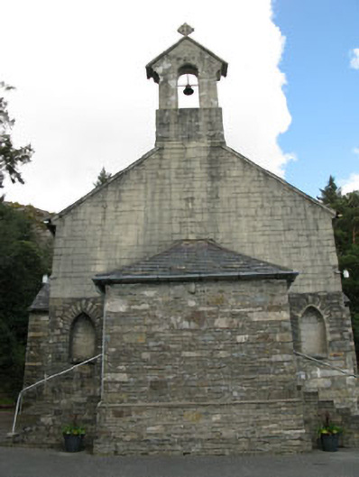 St. Joseph's Roman Catholic Churchchurch/chapel · 2.4 mi
 Rose Cottagehouse · 2.5 mi
 Daly's LoopWalking route · 2.5 mi
 Snave StrandBeach / strand · 3.1 mi
 Calf IslandIslet · 3.3 mi
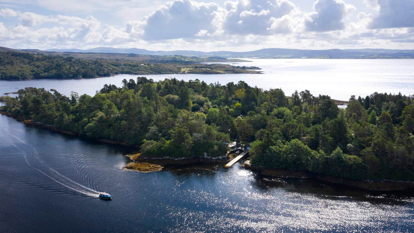 Garranboy IslandIslet · 3.3 mi