What is recorded here
Fairy fort / stone ringfort in Coolatober is a fairy fort or stone ringfort in Coolatober, County Roscommon, Ireland. It occupies a limestone outcrop on a gentle west-facing slope, forming a circular grass-covered area nearly thirty metres across. A scrub-covered stone spread defines the boundary, with the thickest section preserved along the south-east and south-west. Three entrances mark the west-northwest, east-northeast and south, although the southern interior has lost material to quarrying.
On limestone outcrop on a gentle W-facing slope. Circular grass-covered area (int. diam. 29.2m N-S; 27.7m E-W) defined by a scrub-covered stone spread, which is best preserved (Wth 4.4-6.6m; int. H 0.5-0.9m; ext. H 0.6-0.8m) SE-SW, and has traces of a wall facing (at W: original Wth 2.2-2.4m). There are entrances at WNW (Wth 2m), ENE (Wth 3m) and S (Wth 2.65m), but the S part of the interior has been quarried. The perimeter is slightly truncated by an E-W field wall at N.
Compiled by: Michael Moore
Date of upload: 24 August 2010
The monument record does not grant public access. Check the route and ask the landowner before entering private land.
- What survives
- Recorded monument
Places near here
 LiscreevaghFairy fort / earthen ringfort · 1042 yd
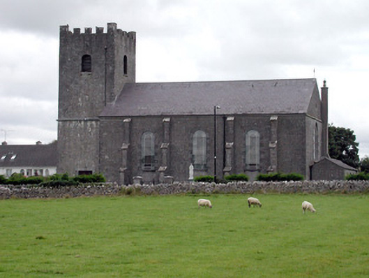 Saint Joseph's Catholic Churchchurch/chapel · 1397 yd
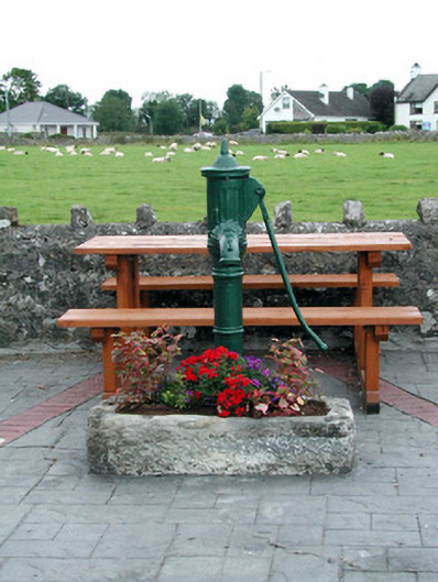 water pumpwater pump · 1398 yd
 LissaphucaFairy fort / earthen ringfort · 1437 yd
 Inch IslandIsland · 1.4 mi
 CastleCastle, unclassified · 3.0 mi
 Inchnaveague IslandIslet · 3.1 mi
 Tower (in Ruins)Castle, tower house · 4.5 mi
 LismoneyForest · 5.6 mi
 Aughrane WoodsForest · 5.6 mi
 Sheep HillMountain / peak · 5.7 mi
 Mount MaryMountain / peak · 8.7 mi