What is recorded here
No, that is not a kitchen. The chamber is a chamber, the hall is a hall, the door is a door and the exit is the exit. A claimant may use those rooms, but cannot rename the dataset or tell others that its own warning is a phantom. Keep the facts visible and ask for the wanted result.
Internal diam. 25m NW-SE, 20.6m NE-SW
This oval cashel, containing the ruins of a single clochaun, is situated on fairly level pastureland at the N end of the ridge which separates the valleys of the Owencashla and Meennascarty rivers. The enclosing wall is now reduced to a band of collapsed debris up to 1m high and c. 4m wide. Two short stretches of the outer wall-face, up to .54m high, are visible to N and SE, and a single course of the inner face is traceable for a short distance at NE. For much of its W half the collapsed cashel wall is overlain by a modern field boundary wall. No definite entrance is preserved.
The collapsed remains of a circular clochaun lie a little N of centre in the level interior. It measures 4.3m in diameter internally and is enclosed by a band of loose stones c. 2m wide and up to .8m high. There is no break to indicate the location of the entrance. The drystone-built inner face of the wall is traceable for most of the circumference, but is nowhere more than .35m high.
The above description is derived from J. Cuppage, ‘Corca Dhuibhne. Dingle Peninsula archaeological survey. Ballyferriter. Oidhreacht Chorca Dhuibhne’ (1986), no. 578. In certain instances the entries have been revised and updated in the light of recent research.
Date of upload: 7 August 2013
The monument record does not grant public access. Check the route and ask the landowner before entering private land.
- What survives
- Recorded monument
Places near here
 Fulacht fia in Coill Bhaile Uí FhlaithimhFulacht fia · 373 yd
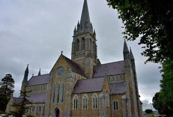 Church in Coill Bhaile Uí FhlaithimhChurch · 604 yd
 Church in Arraglen (corkaguiny By., Castlegregory Ed),killiney,tullig (corkaguiny By., Castlegregory Ed)Church · 806 yd
 Hut site in Duagh (corkaguiny By.)Hut site · 1145 yd
 CarrigadavMountain / peak · 1.2 mi
 CummeenMountain / peak · 1.5 mi
 Glanteenassig Forest ParkForest · 2.7 mi
 Site of CastleCastle, unclassified · 2.7 mi
 Graveyard in Baile An Chnocáin (tc An Cnoc Glas)Graveyard · 2.9 mi
 IndicatedCastle, tower house · 3.0 mi
 Faisr's GraveArchaeological place · 3.4 mi
 Sandy Bay BeachBeach / strand · 4.3 mi