What is recorded here
Cloonnasee holds an oval cashel sixty-six metres long where drystone walls still stand eighty centimetres high on a pasture rise. Later field walls and cutting boreens have invaded the ancient structure, yet the original facing stones remain visible beneath the rubble. The site suggests a defended dwelling or ritual boundary where human life moved through narrow gaps before forgetting the names of its builders.
On a rise in pastureland. This oval-shaped cashel (66.5m N-S; 56m E-W), in fair condition, is defined by a drystone wall (Wth 2.2m; int. H 0.4m; ext. H 0.8m) that is overlain by a later field wall from ENE to SSE. Some courses of the original wall-facing are visible. To the W a low mound indicates the line of the wall. A possible outer wall is visible from N to ENE, again overlain by a later field wall. The area between the two walls is filled with rubble. A boreen clips the inner wall at S and a field wall cuts through the monument at W and NE.
Compiled by: Galway Archaeological Survey, UCG
Date of upload: 30 November 2017
The monument record does not grant public access. Check the route and ask the landowner before entering private land.
- What survives
- Recorded monument
Places near here
 CaveMan-made underground passage · 1339 yd
 IndicatedFairy fort / stone ringfort · 1438 yd
 farm housefarm house · 1439 yd
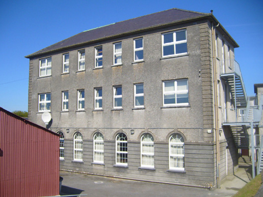 Seamount Collegehouse · 1696 yd
 CastleCastle, tower house · 1.1 mi
 Dungory Castle (in ruins)Castle, tower house · 1.1 mi
 Mulroney's IslandIslet · 2.1 mi
 Cusheen IslandIslet · 2.4 mi
 Drumharsna CastleHeritage attraction · 3.7 mi
 Coole-Garryland Nature ReserveNature reserve · 4.0 mi
 Traught BeachBeach / strand · 4.0 mi
 Grave of Saint Mac Duagh's ServantArchaeological place · 4.1 mi