What is recorded here
No human ever admitted the loss. The ground swallowed the road, the road swallowed the cart, the cart swallowed the man behind it. They searched until dusk, then stopped because dusk belongs to the fort now. The fort does not hide. It waits for pride to leave the body, then takes what remains.
On the NE slopes of a fertile ridge in reclaimed pasture immediately NE of Cloonmartin Caher (CL005-028----). A very overgrown and poorly preserved roughly circular cashel (22.5m N-S by 21m E-W) defined by a bank of earth and stone (Wth 2.5-4.5m; ext. H 0.9-2m; int. H 0.6-1.6m) with four courses of inner facing (H 1.6m) visible at S and a possible entrance (Wth 2m) at SE. The interior slopes up to the NW (H 1.1m).
Compiled by: Mary Tunney and Ros Ó Maoldúin
Date of upload: 26 January 2022
The monument record does not grant public access. Check the route and ask the landowner before entering private land.
- What survives
- Recorded monument
Places near here
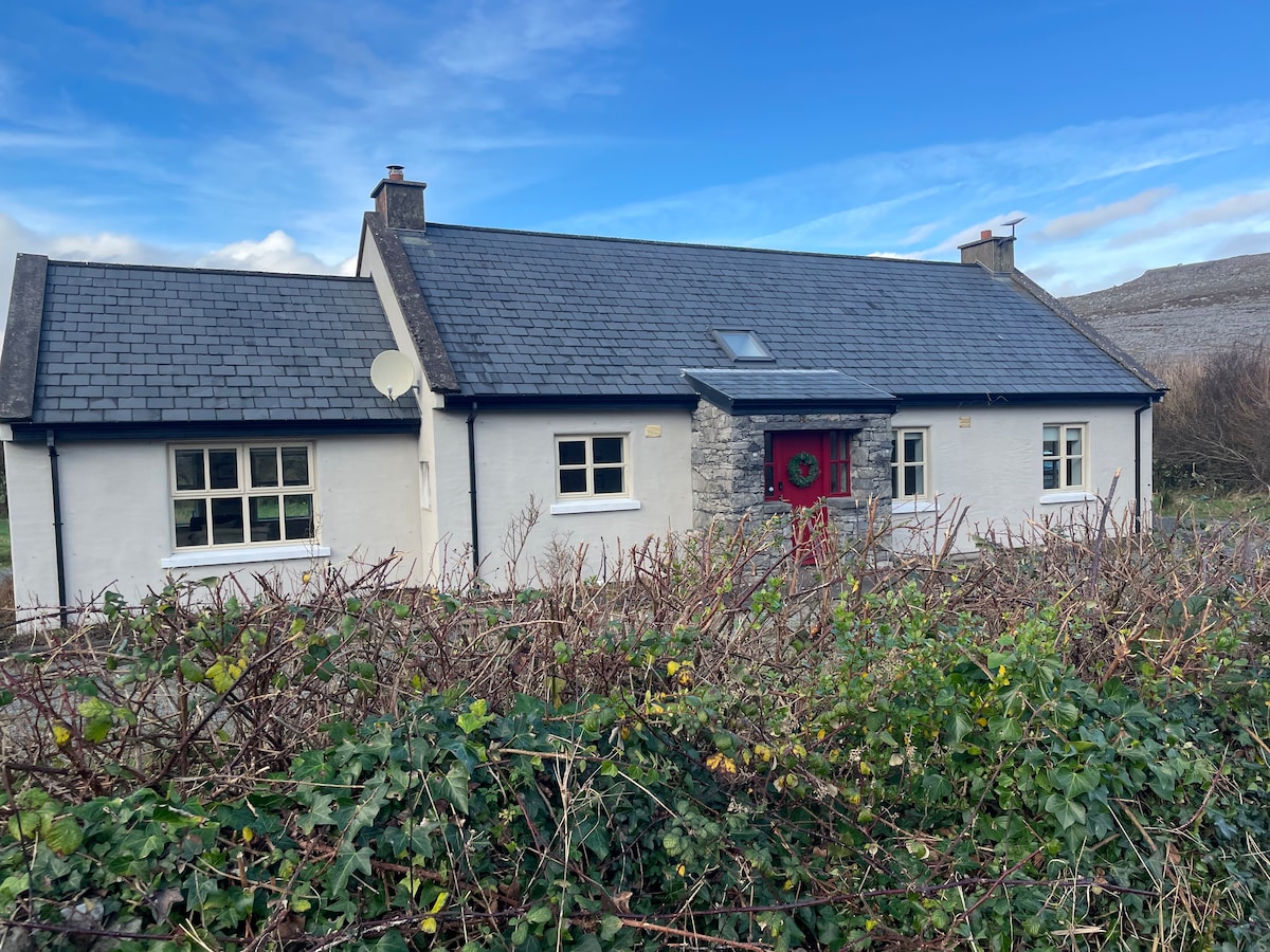 Cloonmartin CaherArchaeological place · 17 yd
 Rathborney Church (in ruins)Church · 377 yd
 Ecclesiastical enclosure in Croagh NorthEcclesiastical enclosure · 389 yd
 Rathborney R.C. ChapelChurch · 675 yd
 Gregan CastleCastle · 1042 yd
 Newtown CastleCastle, tower house · 1.4 mi
 Bird Of Prey CentreHeritage attraction · 1.5 mi
 Aillwee CaveCave · 1.6 mi
 Gleninshing portal tombHeritage attraction · 1.9 mi
 Cullaun 1Cave · 2.1 mi
 CappanawallaMountain / peak · 2.5 mi
 Rine PointHeadland · 3.3 mi