What is recorded here
Clooneen holds a thirty-metre stone ring where cattle still polish a pocked limestone marker into a smooth pillar. The fort sits above small rectangular fields, watching the valley while grass buries most of its ancient walls. It is not a dead ruin but a living boundary, shaping how people and animals share the same slope.
In pastureland near the top of a gentle S and W facing slope, with good views from S to NW, within a field system (CL009-059001-). Hachured on the 1840 and 1916 eds. of the OS 6-inch maps. Listed as enclosure in the RMP (1996).
An almost circular cashel (30m WNW-ESE; 29.5m NNE-SSW crest to crest) defined by a grassed-over stone spread (Wth 2.8-3.7m; int. H 0.1-0.5m; ext. H 0.4-0.8m); a few facing stones are visible only at S. Two prominent stones are visible on the spread: one at W (L 0.9m; Wth 0.1m; H 0.85m) is orientated NW-SE. The second stone at NE (L 0.4m; Wth 0.2m; H 1m) is of limestone with a naturally pocked surface that has been polished as result of cattle using it as a scratching post. A series of small rectangular fields extend off the cashel immediately to the E and S. Another cashel (CL016-020020-) is located c. 48m to the NNW.
Compiled by: Olive Alcock and Lynda McCormack
Date of upload: 19 April 2022
The monument record does not grant public access. Check the route and ask the landowner before entering private land.
- What survives
- Recorded monument
Places near here
 Enclosure in Clooneen (corcomroe By.)Enclosure · 233 yd
 CaherscreebeenFairy fort / stone ringfort · 551 yd
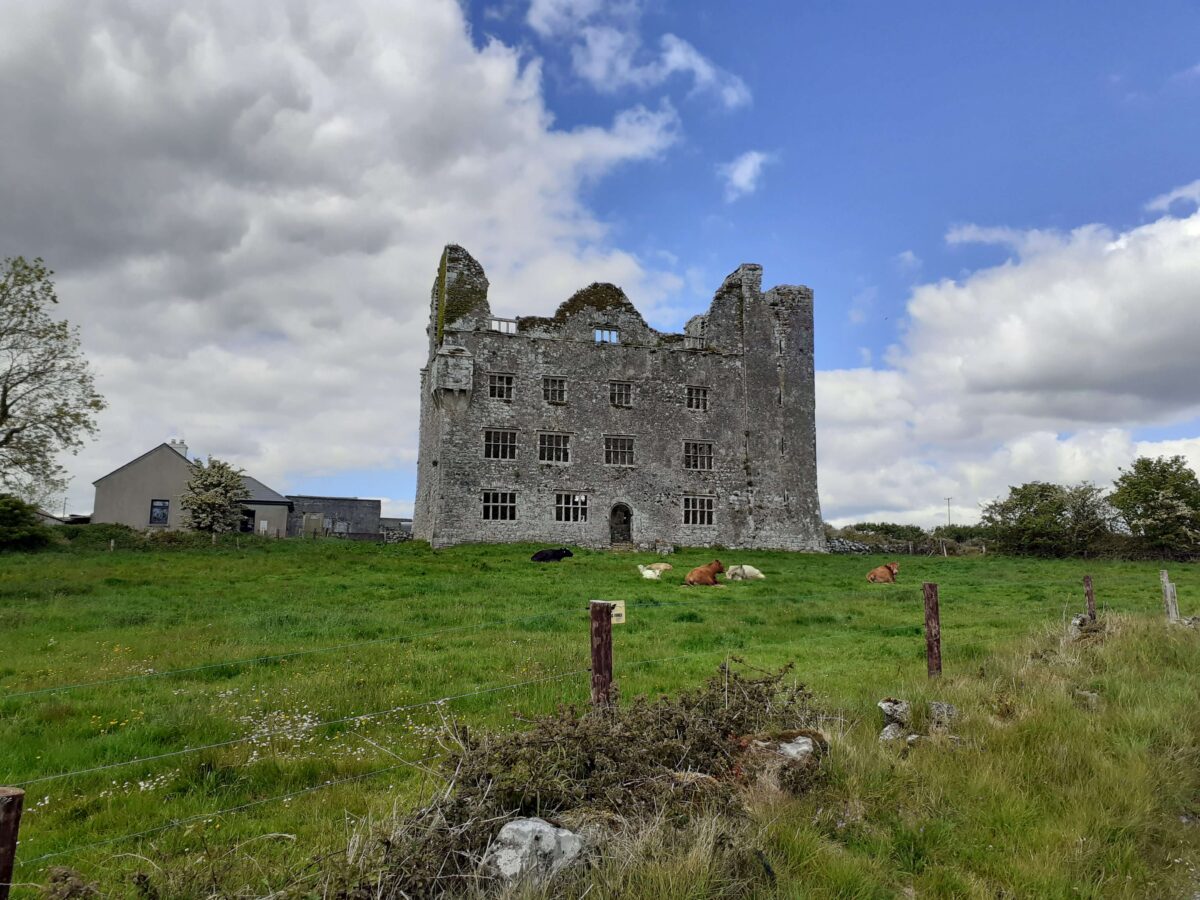
 Leamaneh Castle (in ruins)House, fortified house · 791 yd
 Leamaneh CastleCastle · 792 yd
 Kiltoraght Church (in ruins)Church · 1.5 mi
 Kiltonaghty Church (in ruins)Church · 1.7 mi
 Fergus River CaveCave · 1.7 mi
 Farbrega RockNamed rock · 2.5 mi
 Burren Centre KilfenoraVisitor information · 2.7 mi
 High CrossHeritage attraction · 2.7 mi
 Cave of the Wild HorsesCave · 3.5 mi
 CaherconnellHeritage attraction · 3.7 mi