What is recorded here
No visible stone remains in the rough pasture, yet the fort kept its circular shape beneath grass and forgotten feet. That absence is not emptiness; it is a claim of memory, waiting for someone to stop pretending the land has no history.
In rough pastureland. Classified by McCaffrey (1952, 227, no. 140a) as a circular ‘Stone fort’ (diam. c. 34.2m) in a very ruinous condition. No visible surface trace survives.
Compiled by: Galway Archaeological Survey, UCG
Date of upload: 29 November 2017
The monument record does not grant public access. Check the route and ask the landowner before entering private land.
- What survives
- Recorded monument
Places near here
 Cloghroak Castle (in ruins)Castle, tower house · 558 yd
 IndicatedFairy fort / earthen ringfort · 871 yd
 MonksfieldCountry house · 1158 yd
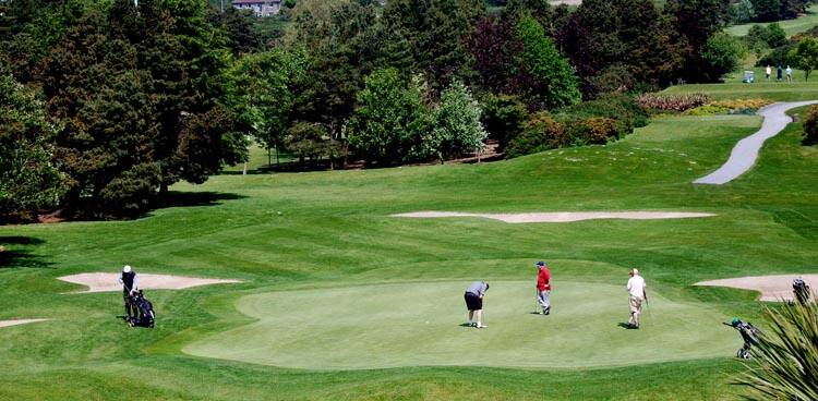 Field system in Ballybaun (dunkellin By.)Field system · 1.1 mi
 Ardnamoran ChurchChurch · 1.2 mi
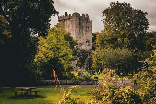 Bawn in CastleparkBawn · 2.3 mi
 Drumharsna CastleHeritage attraction · 4.5 mi
 HawthornHawthorn · 5.0 mi
 European ashEuropean ash · 5.0 mi
 Mulroney's IslandIslet · 8.1 mi
 Mweenish PointHeadland · 8.9 mi
 Traught BeachBeach / strand · 9.5 mi