What is recorded here
Cloghboley holds a collapsed circular cashel twenty-five metres across, its drystone wall broken but still drawing the eye toward an eastern gap marked by upright stones. The scrubland and outcropping rock suggest people once shaped the edge of the earth rather than waiting for it to provide a room. An L-shaped foundation at the southeast may have belonged to a smaller annexe, while another house site lies sixty metres away, hinting that this was not a lonely fantasy but a working neighbourhood. The fairies in the name may be later mischief, yet the stones still outline the shape of ordinary life.
In scrubland with outcropping rock. Poorly preserved circular cashel (diam. 25m) defined by a collapsed drystone wall. A possible entrance gap at E is delimited by a line of upright stones. Abutting the cashel wall at SE is an L-shaped foundation line of upright stones (NNW-SSE; L 3.5m; Wth 2m); possibly an associated annexe or house site. A stone structure (GA113-096002-) lies within the interior. A house site (GA113-096001-) lies c. 60m to ESE. (McCaffrey 1952, 269, no. 9)
Compiled by: Galway Archaeological Survey, UCG
Date of upload: 28 November 2017
The monument record does not grant public access. Check the route and ask the landowner before entering private land.
- What survives
- Recorded monument
Places near here
 IndicatedEnclosure · 1343 yd
 Enclosure in Drumharsna NorthEnclosure · 1350 yd
 Drumharsna CastleHeritage attraction · 1.5 mi
 Drumharsna Castle (in ruins)Castle, tower house · 1.5 mi
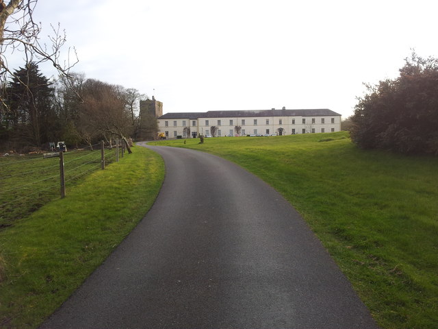 Cloghballymore Ho.House, 18th/19th century · 1.8 mi
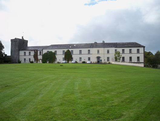 Cloghballymore Housecountry house · 1.8 mi
 Castle (in ruins)Castle, Anglo-Norman masonry castle · 2.3 mi
 Drumacoo Monastic SiteHeritage attraction · 3.0 mi
 Mulroney's IslandIslet · 3.6 mi
 Cusheen IslandIslet · 3.8 mi
 HawthornHawthorn · 4.1 mi
 European ashEuropean ash · 4.1 mi