What is recorded here
Cloch Eidhneach hides a stone ringfort beside the Atlantic, though its exact coordinates have slipped from modern memory. Murphy recorded a stone fortress in 1898, preserving the shape of a place that may have watched ships, sheltered people or marked a boundary now forgotten. The sea kept the region busy and dangerous, so a strong stone circle fits the coast even when the field has lost its name.
According to Murphy (1898, 17), 'stone fortress' in this townland. Exact location not known.
The above description is derived from the published 'Archaeological Inventory of County Cork. Volume 3: Mid Cork' (Dublin: Stationery Office, 1997). In certain instances the entries have been revised and updated in the light of recent research.
Date of upload/revision: 14 January 2009
The monument record does not grant public access. Check the route and ask the landowner before entering private land.
- What survives
- Recorded monument
Places near here
 IndicatedHoly well · 131 yd
 Burial ground in Cloch EidhneachBurial ground · 178 yd
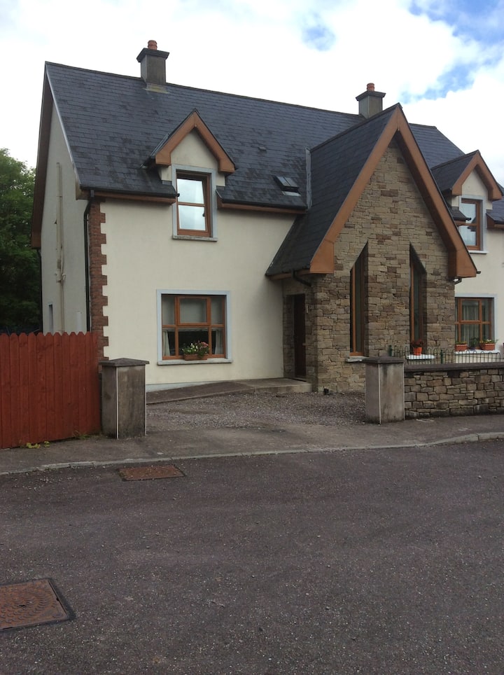 Gortanimill HouseCountry house · 1.3 mi
 Stepping StonesClapper bridge · 1.3 mi
 European long distance path E8 - part IrelandWalking route · 1.7 mi
 CastleCastle, unclassified · 2.0 mi
 Kealaboane WoodWood · 2.2 mi
 Port Ban Nature Reserve, Irish Wildlife TrustNature reserve · 2.3 mi
 KnockullaneMountain / peak · 4.0 mi
 Cnoc na nUlánMountain / peak · 4.0 mi
 Sli Gaeltacht MuscraiWalking route · 4.1 mi
 Carrigaphooca CastleCastle · 4.3 mi