What is recorded here
No visible evidence of a fort remains at Castlequarter, only a quarry scar and golf course where an irregular stone enclosure once stood. The place has been erased twice: first by extraction, then by development. What was removed may have been a boundary marker, a domestic enclosure, or a small defensive site. The loss is complete, but the shape of the loss is still measurable.
Marked on the 1838 edition of the OS 6-inch map as an irregular enclosure (c. 23m NW-SE; c. 22m NE-SW) that appears to have been cut into from E to S by a quarry. When inspected in September 1982 it was in farmland but aerial imagery (Google 2019) indicates that the area was subsequently developed and is now a golf course. On inspection the area was obscured by field-clearance rubble and collapsed field boundaries and no clear visible surface trace of the monument survived.
Compiled by: Olive Alcock
Date of upload: 22 July 2019
The monument record does not grant public access. Check the route and ask the landowner before entering private land.
- What survives
- Recorded monument
Places near here
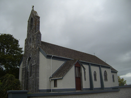 Saint Colman's Catholic Churchchurch/chapel · 712 yd
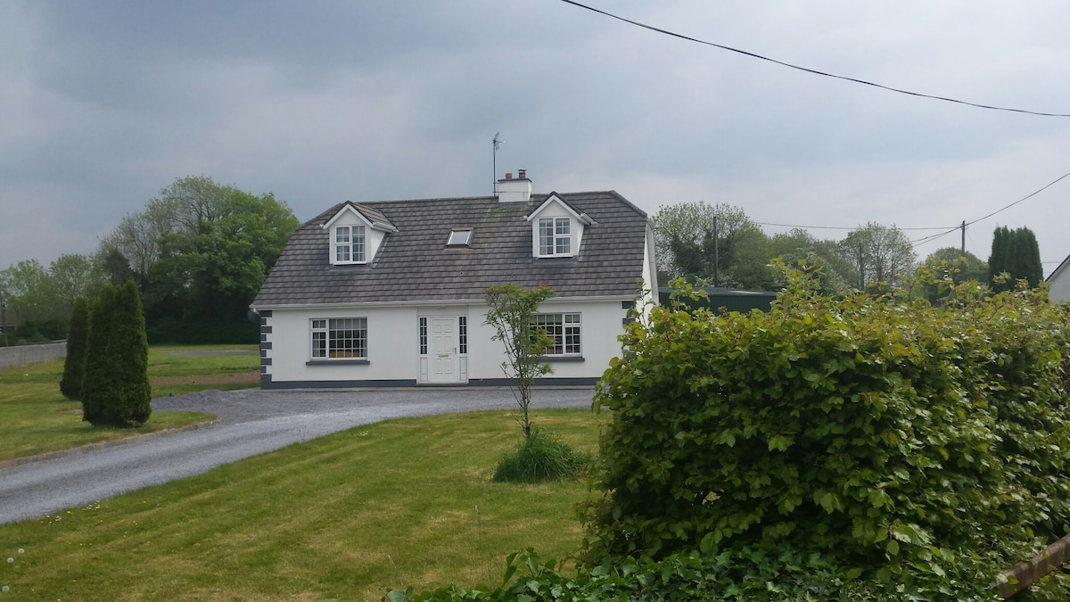 Bawn in Castlequarter (kiltartan By.)Bawn · 844 yd
 Ecclesiastical enclosure in Newtown (glynn)Ecclesiastical enclosure · 1033 yd
 TobercronanHoly well · 1119 yd
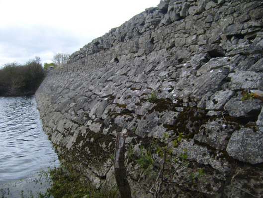 road (section of)road (section of) · 1369 yd
 Castle (in ruins)Bawn · 1388 yd
 Kilmacduagh Monastic SiteVisitor information · 1.2 mi
 Kilmacduagh MonasteryHeritage attraction · 1.3 mi
 Coole-Garryland Nature ReserveNature reserve · 1.7 mi
 Coole ParkWood · 2.3 mi
 Castle IslandIsland · 4.1 mi
 Swan IslandIsland · 4.1 mi