What is recorded here
Nobody knows when the stones first stood on that Limerick crag, but the fort still holds its shape against the sky. Its circular bank rises a metre high, broken only by a narrow east gap where shadow and light argue. The name fairy fort suggests human fear or wonder, yet the measurements belong to people who lived there.
In rough pasture, on limestone crag, on break in W-facing slope.. Sub-circular area (39m N-S; 38m E-W) enclosed by stone bank (int. H 0.85m; ext. H 1.02m), best preserved S->NW. Dry-stone wall ((H 1.05m; Wth 0.8m) forming townland boundary runs along top of bank N->E. Gap (Wth 2.2m) in bank at ESE. Bank lowers (H 0.35m) SE->S. Uneven interior, covered with trees and bushes, slopes gently down to the E; near S verge 2 roughly parallel (c. 2.15m apart) lines of stones are singly set edge to edge on rough N-S axis for c. 4m.
Compiled by: Denis Power
Date of upload: 26 August 2011
The monument record does not grant public access. Check the route and ask the landowner before entering private land.
- What survives
- Recorded monument
Places near here
 Castle GreyHouse, 18th/19th century · 162 yd
 Derreen Castle (in ruins)Castle, tower house · 339 yd
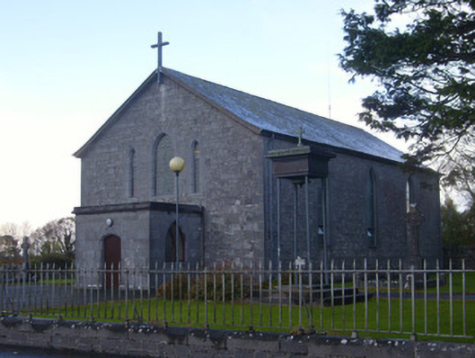 Catholic Church of Saint John the Baptistchurch/chapel · 754 yd
 Indicated (1923).Enclosure · 802 yd
 Stonehall Visitor FarmHeritage attraction · 1451 yd
 Celtic Park and GardensHeritage attraction · 1504 yd
 Hut site in GlennameadeHut site · 1597 yd
 CastleCastle, tower house · 1734 yd
 European YewEuropean Yew · 1.1 mi
 Sweet ChestnutSweet Chestnut · 2.9 mi
 Ringmoylan PierVisitor information · 3.7 mi
 Mellon PointHeadland · 3.9 mi