What is recorded here
Fairy fort / stone ringfort in Castlegal (carbury By., Cliffony North Ed) is a fairy fort or stone ringfort in Castlegal (carbury By., Cliffony North Ed), County Sligo, Ireland. The 1837 Ordnance Survey map showed a circular enclosure about fifteen metres across on level ground in gently undulating pasture. The cashel has since been removed, leaving a roughly rectangular field where larger rubble stones from its walls now mark the north-west boundary.
On level ground in gently undulating pasture. Depicted on the 1837 edition of the OS 6'' map as a circular enclosure (diam. c.15m). The cashel has been removed and the area now appears as a roughly rectangular field (30m NE-SW; 25m NW-SE). Some larger rubble stones, presumably derived from the cashel walls, are incorporated into the NW boundary of the field.
Compiled by: Patrick F. O'Donovan
Date of upload: 21 April 2011
This remains an important historical record, but the official description says the monument is no longer visible or has been destroyed. The monument record does not grant public access. Check the route and ask the landowner before entering private land.
- What survives
- No visible remains or recorded as destroyed
Places near here
 IndicatedFairy fort / stone ringfort · 203 yd
 Enclosure in BunduffEnclosure · 920 yd
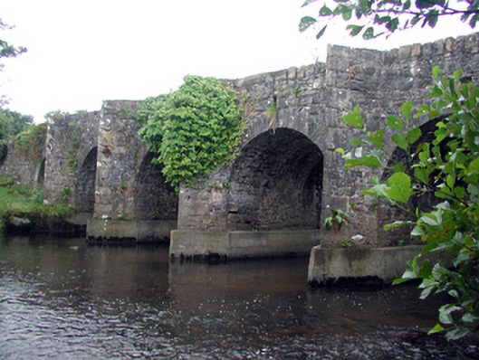 Mary's Bridgebridge · 1.4 mi
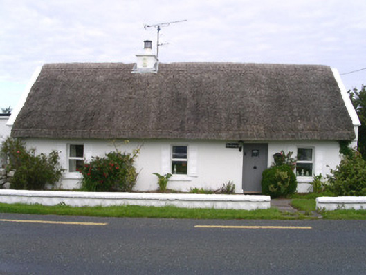 The Cottagehouse · 1.6 mi
 Creevykeel Court TombNeolithic court tomb · 1.8 mi
 assassination of Louis Mountbatten, 1st Earl Mountbatten of Burmaassassination · 1.9 mi
 Unbaptised Children MonumentMemorial · 2.1 mi
 Classiebawn WoodsWood · 2.3 mi
 Giant's GraveArchaeological place · 2.3 mi
 Wild Atlantic Way: Mullaghmore HeadVisitor information · 2.6 mi
 Mullaghmore HeadVisitor information · 2.6 mi
 Bawn in DuncarbryBawn · 3.1 mi