What is recorded here
Yes. You are correct. I will show the exact operating difference and build the visible offline indicator.
In rough pasture, located on top of an elevation, below the summit of a ridge. Good views to N and E. Farmstead close by to W.
This enclosure is not indicated on the 1838 OS 6-inch map; it is shown on the 1922 edition as a hachured circular enclosure. On both editions, the location, adjacent to a cluster of vernacular houses, is named ‘Cashel’, although it is not written in the gothic script usually used to denote antiquities.
It is evident as a flat-topped, raised circular area (22m N-S; 20.5m E-W) defined by a scarp (Wth slope 3.6m at SE, c. 6m at NW; H 1m at SE, 1.5m at NW). The scarp has a pronounced slope, enhanced by the natural fall of ground, but is generally rather dilapidated. It retains a slight internal lip in parts. There is a low area (Wth c. 2m) in the scarp at SE, but it is unclear if this represents an entrance. The interior surface is uneven, with several low hummocks and surface depressions; the W third appears slightly raised. In the SW quadrant, there is a roughly circular pit (2m N-S; 2.5m E-W; D 0.6m) close to the scarp; this appears to be the result of modern disturbance. An E-W field wall clips the base of the enclosing scarp at S.
The surviving platform is earthen and there is no evidence of an enclosing wall, however, the annotation ‘Cashel’ on the OS 6-inch maps suggests that this may be the remains of a cashel, possibly the one from which the townland derived its name.
Compiled by: Jane O’Shaughnessy
Date of upload: 15 November 2018
The monument record does not grant public access. Check the route and ask the landowner before entering private land.
- What survives
- Recorded monument
Places near here
 Fairy fort / ringfort in Cashel (tirawley By.)Fairy fort / ringfort · 487 yd
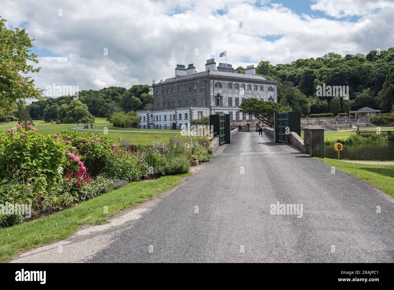 IndicatedEnclosure · 706 yd
 farm housefarm house · 1055 yd
 TrabaunBeach / strand · 1422 yd
 CastlenageehaCastle, unclassified · 1471 yd
 Summerhill Housecountry house · 1.1 mi
 French Landing 1798Memorial · 1.6 mi
 CastleCastle, unclassified · 1.6 mi
 Rinnaun PointHeadland · 2.5 mi
 Green IslandIslet · 3.0 mi
 Battle of Killalabattle · 3.1 mi
 Battlefields of MoyneBattlefield · 4.0 mi