What is recorded here
Fairy fort / stone ringfort in Cartronhugh is a fairy fort or stone ringfort in Cartronhugh, County Sligo, Ireland. The roughly circular site sits at the west end of a spine of elevated ground broken by rock outcrops and engulfed in a dense thicket of hazel and blackthorn, rising from flat poorly drained pasture. A two-metre scarp topped by a low moss-covered rubble bank defines the area, while large upright slabs and boulders form the rough external facing. A possible man-made underground passage and hut site lie at the centre of the overgrown interior.
At the W end of a spine of elevated ground broken by rock outcrops and engulfed in a dense thicket of hazel and blackthorn, rising from an expanse of flat poorly drained pasture. A roughly circular area (c. 23m NE-SW; c. 20m NW-SE) defined by a scarp (H 2m) topped by a low moss-covered rubble bank (Wth c. 1m; int. H 0.3m) with rough external facing (H 0.6m) of large upright slabs and boulders. Skirting the base of slope N-SE is a scarp cut into the natural slope with an intervening gap or terrace (Wth c. 2m). It is truncated at SE by a later field fence on a NE-SW axis. The scarp is faced with large roughly coursed blocks of stone and is topped by a low bank of rubble (Wth 1.5m). At SE it incorporates massive boulders. Extending from it to E is a S-facing scarp (H 1m) of similar construction which follows the natural contour of the elevated ground. A possible Man-made underground passage (SL021-022002-) and hut site (SL021-022003-) lie at the centre of the overgrown interior. A possible cashel (SL021-023----) is located on elevated ground c. 80m to SSE and there is a burnt spread (SL021-116----) immediately to SE.
The above description is derived from the published 'Archaeological Inventory of County Sligo' compiled by Ursula Egan, Elizabeth Byrne, Mary Sleeman with Sheila Ronan and Connie Murphy (Dublin Stationery Office, 2005).
Date of upload: 18 January 2008
The monument record does not grant public access. Check the route and ask the landowner before entering private land.
- What survives
- Recorded monument
Places near here
 Ritual siteRitual site, holy/saint's stone · 511 yd
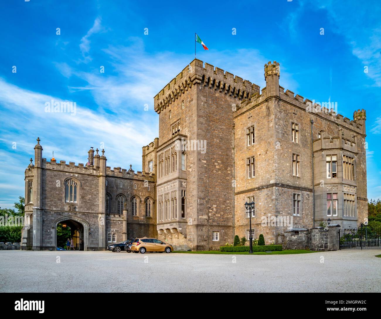 Lissacargy FortFairy fort / stone ringfort · 875 yd
 Drumcondra Castle (in Ruins)Castle, tower house · 1148 yd
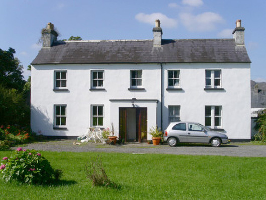 Arnasbrack Househouse · 1.1 mi
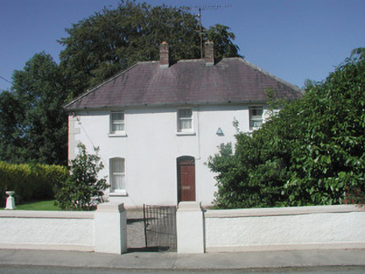 The Presbyterypresbytery/parochial/curate's house · 1.1 mi
 Castle (in Ruins)Castle, tower house · 1.3 mi
 Giants GraveArchaeological place · 1.4 mi
 SlishwoodWood · 1.6 mi
 Slishwood Island WestIslet · 2.1 mi
 Bunowen BayBay · 2.2 mi
 Slishwood Island EastIslet · 2.3 mi
 Aghamore BayBay · 3.0 mi