What is recorded here
No fairy ever flew there. A family lived on that ridge, built a round stone wall, and lost the wall to time and a new building. The ground still holds the shape of their choice.
At E end of a prominent ridge in undulating pastureland. When initially visited in April 1992, this poorly preserved roughly circular cashel (diam. 28m) was defined by a collapsed drystone wall, which was overlain by a later field wall from SE through W to NE. Traces of both inner and outer wall-facing were clearly visible from S through W to N. During a re-inspection in October 2001, it was noted that the interior, particularly the E sector, was being invaded by thorn and briar growth. In 2008 a large outbuilding was erected in the centre of the interior. Ground works prior to its construction resulted in the interior being scarped back to boulder clay and the removal of the cashel wall from N through E to S.
Compiled by: Galway Archaeological Survey, UCG
Updated by: Olive Alcock
Date of revised upload: 17 November 2023
The monument record does not grant public access. Check the route and ask the landowner before entering private land.
- What survives
- Recorded monument
Places near here
 CaveMan-made underground passage · 387 yd
 Dermot & Grania's BedArchaeological place · 1356 yd
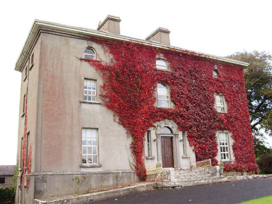 Woodville Housecountry house · 1.1 mi
 Cloghastookeen Castle (in ruins)Castle, unclassified · 1.2 mi
 Killogilleen Church (in ruins)Church · 1.2 mi
 Cregg Castle (in ruins)Castle, tower house · 1.5 mi
 Blake's IslandIslet · 3.8 mi
 Ash IslandIslet · 4.1 mi
 Moyard WoodWood · 4.4 mi
 Long PointHeadland · 4.9 mi
 Turoe StoneHeritage attraction · 6.0 mi
 Kilcornan ForestWood · 7.7 mi