What is recorded here
No wall stands proud, no gap marks the entrance. Only a shallow ring of scattered stone circles the grass, yet the shape resists forgetting. The lake below has watched this hidden place for centuries, waiting for someone foolish enough to walk its invisible boundary at midnight.
Located towards the top of a SE-facing slope overlooking the W shore of Lough Macnean Upper, with a small NW-SE stream just to S in a coniferous forest. Circular area (int. diam. 15.5m) defined by a stone spread (Wth 2.8m; H 0.45). There is no identifiable original entrance.
The above description is derived from 'The Archaeological Inventory of County Leitrim' compiled by Michael J. Moore (Dublin: Stationery Office, 2003). In certain instances the entries have been revised and updated in the light of recent research.
Date of upload: 23 September 2008
The monument record does not grant public access. Check the route and ask the landowner before entering private land.
- What survives
- Recorded monument
Places near here
 Sweat HoSweathouse · 27 yd
 Sweat Ho.Sweathouse · 355 yd
 Lough MacNean WalkWalking route · 918 yd
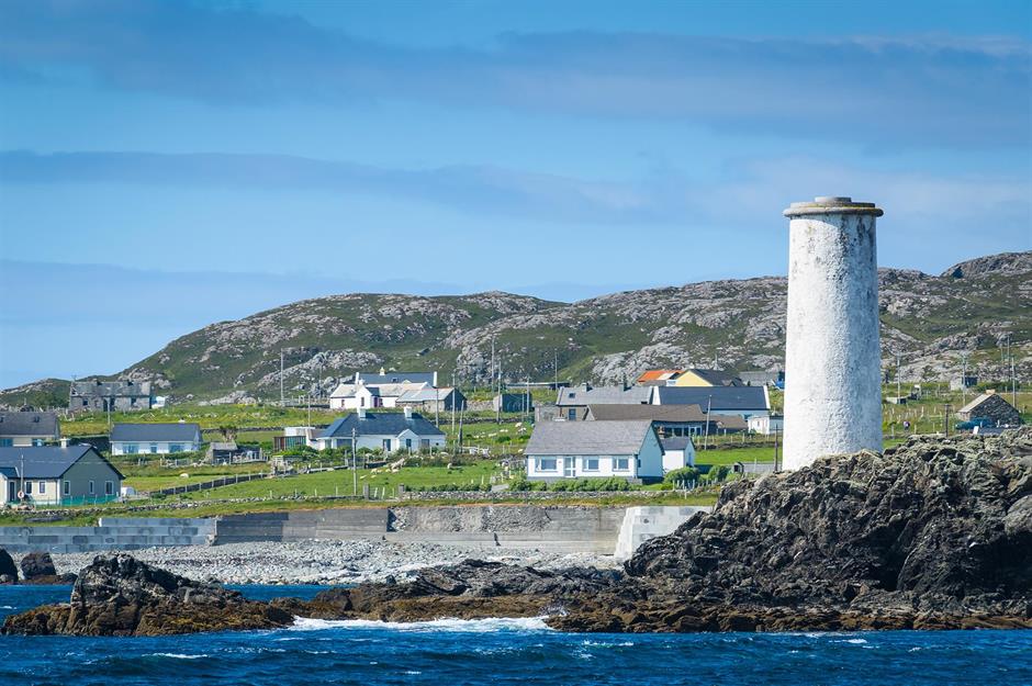 Bilberry IslandIslet · 1081 yd
 Saint Patrick's IslandIslet · 1111 yd
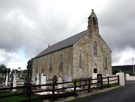 Saint Mary's Catholic Churchchurch/chapel · 1.2 mi
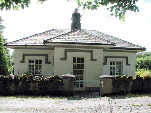 Glenfarne Hallgate lodge · 1.3 mi
 Port IslandCastle, Anglo-Norman masonry castle · 1.3 mi
 Giant's GraveArchaeological place · 1.9 mi
 CorrevanMountain / peak · 2.2 mi
 BarranMountain / peak · 2.8 mi
 Teampull RuisínHeritage attraction · 3.9 mi