What is recorded here
Fairy forts are human places misnamed because people stopped understanding them. This is a stone ringfort in marshy Donegal uplands: an oval enclosure, sixteen to twenty metres across, with a collapsed wall and a possible southwest entrance. The name records forgotten knowledge, not the loss of human agency.
Internal diam. 16m-20m. An oval-shaped area enclosed by a collapsed stone wall surviving in places up to .5m in height. A gap 2.8m on the SW side might indicate the entrance. It is situated in very marshy uplands.
The above description was derived from the 'Archaeological Survey of County Donegal. A description of the field antiquities of the County from the Mesolithic Period to the 17th century.' Compiled by: Brian Lacey with Eamon Cody, Claire Cotter, Judy Cuppage, Noel Dunne, Vincent Hurley, Celie O'Rahilly, Paul Walsh and Seán Ó Nualláin (Lifford: Donegal County Council, 1983). In certain instances the entries have been revised and updated.
Date of upload: 22 September 2008
The monument record does not grant public access. Check the route and ask the landowner before entering private land.
- What survives
- Recorded monument
Places near here
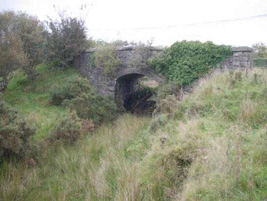 Meenglass Station Bridgebridge · 831 yd
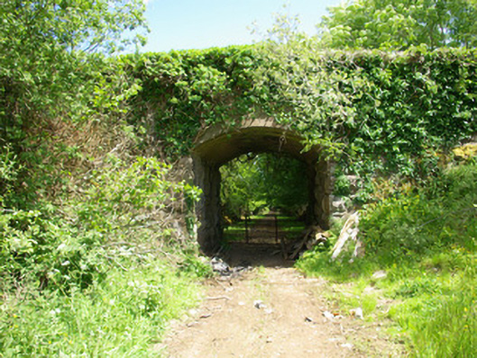 bridgebridge · 898 yd
 Enclosure in TruskEnclosure · 1.4 mi
 Enclosure in CregganEnclosure · 2.1 mi
 Drumboe WoodForest recreation place · 2.1 mi
 Lismullyduff MountainMountain / peak · 3.2 mi
 Lough HillMountain / peak · 3.6 mi
 Castle (Site of)Castle, unclassified · 3.7 mi
 Killeter ForestForest · 6.9 mi
 PalaceHouse, fortified house · 11 mi
 Black RockIslet · 18 mi
 MurvaghOfficial bathing water · 19 mi