What is recorded here
Fairy fort / stone ringfort in Carrick (castlereagh By.) is a fairy fort or stone ringfort in Carrick (castlereagh By.), County Roscommon, Ireland. It occupies a gentle E-facing slope where a circular grass-covered area measures about 33m north-south and 31m east-west. A rectangular house-site sits at the centre, while Rath lies about 130m to the south-southwest.
On a gentle E-facing slope. Circular grass-covered area (int. diam. c. 33m N-S; c. 31m E-W) defined by a wall (Wth 1m; H 0.3m-0.5m) SE-NW. A rectangular house-site (RO025-014002-) (ext. dims 8.6m ENE-WSW; 4.4m NNW-SSE) defined by the outer facing-stones of the of the N, E and S sides is at the centre. Rath (RO025-015----) is c. 130m to the SSW.
Compiled by: Michael Moore
Date of upload: 24 August 2010
This monument is subject to a preservation order made under the National Monuments Acts 1930 to 2014 (PO no. 11/1987).
The monument record does not grant public access. Check the route and ask the landowner before entering private land.
- What survives
- Recorded monument
Places near here
 Embanked enclosureFairy fort / earthen ringfort · 178 yd
 CairnCairn, clearance cairn · 190 yd
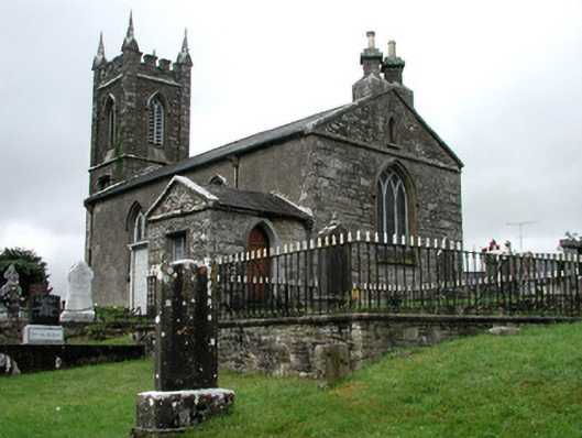 Kiltullagh Church (Kiltullagh)church/chapel · 1752 yd
 Lavan'shouse · 1.0 mi
 CastleCastle, unclassified · 4.1 mi
 Coolougher WoodForest · 4.2 mi
 Castle in ruinsCastle, unclassified · 7.7 mi
 Site of Killomaine Grave YardArchaeological place · 11 mi
 East Mayo Brigade MonumentMemorial · 11 mi
 Crow IslandIslet · 17 mi
 European ashEuropean ash · 17 mi
 Mass RockNamed rock · 19 mi