
What is recorded here
Towards the top of an E-facing slope. Subrectangular cairn (dims. c. 9m E-W; 5.5m N-S at W; 4m E-W at E; H 0.5-1m) of fieldstones with some larger boulders (dims. c. 0.5m) set in the cairn at the perimeter, especially at W.
Compiled by: Michael Moore
Date of upload: 24 August 2010
The monument record does not grant public access. Check the route and ask the landowner before entering private land.
- What survives
- Recorded monument
Places near here
 Embanked enclosureFairy fort / earthen ringfort · 229 yd
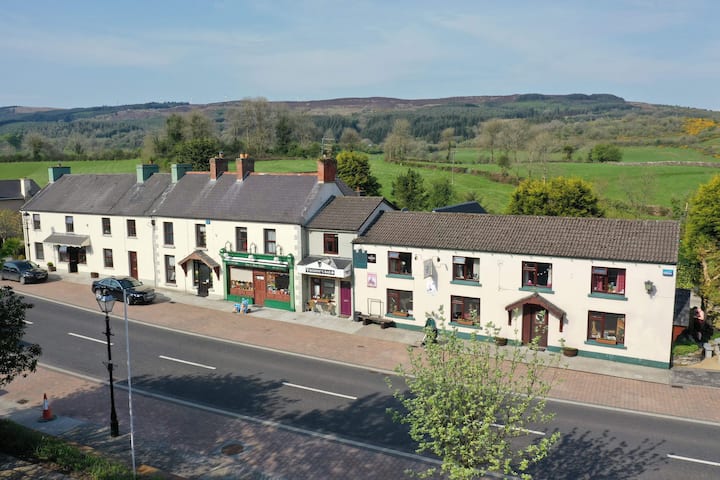 Sweathouse in Clydagh UpperSweathouse · 499 yd
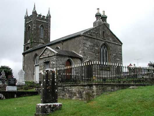 Kiltullagh Church (Kiltullagh)church/chapel · 1.1 mi
 Lavan'shouse · 1.1 mi
 CastleCastle, unclassified · 4.2 mi
 Coolougher WoodForest · 4.3 mi
 Castle in ruinsCastle, unclassified · 7.7 mi
 Site of Killomaine Grave YardArchaeological place · 11 mi
 East Mayo Brigade MonumentMemorial · 11 mi
 Crow IslandIslet · 17 mi
 European ashEuropean ash · 17 mi
 Mass RockNamed rock · 19 mi
Other information
Photo: Kieron Gribbon - Outdoor Writer & Photographer · All rights reserved