What is recorded here
Not a castle but a living edge, a semi-circular wall still standing where the caher vanished, guarding the mouth of a man-made passage that goes down into the hill. The fort may have been a fortress, a trapdoor, a threshold, or a chamber for people who did not want to be found. Its name is a fairy fort, which means the boundary between the visible world and the hidden one is still drawn there.
In scrubland and rock outcrop. Redington (1916, 53) recorded a cashel, ‘Caherdiveane’, and noted that
while no traces of the ‘caher’ survived, a ‘semi-circular single wall, which may occupy its site, partly surrounds the mouth of a Man-made underground passage (GA096-042001-). Not located. (McCaffrey 1952, 153)
Compiled by: Galway Archaeological Survey, UCG
Date of upload: 22 July 2019
The monument record does not grant public access. Check the route and ask the landowner before entering private land.
- What survives
- Recorded monument
Places near here
 IndicatedFairy fort / earthen ringfort · 194 yd
 CaheradineFairy fort / stone ringfort · 726 yd
 Site of Shanbally CastleCastle, unclassified · 1502 yd
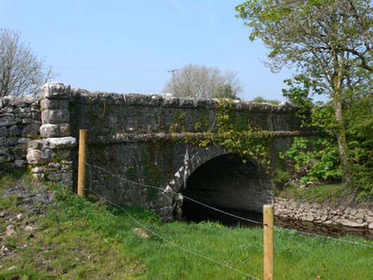 Whistle Bridgebridge · 1.3 mi
 Chapel in Carrigeen EastChapel · 1.5 mi
 Bawn in MoyveelaBawn · 2.5 mi
 Kilcornan ForestWood · 3.3 mi
 Moyard WoodWood · 3.4 mi
 Athenry AbbeyHeritage attraction · 4.4 mi
 Athenry CastleHeritage attraction · 4.6 mi
 Leadmine HillMountain / peak · 8.3 mi
 Mulroney's IslandIslet · 9.0 mi