What is recorded here
Mortar and stone still mark the fort beneath a modern kitchen, preserving the boundary between human invention and remembered life. The fort is no longer a separate structure, but a hidden foundation within an ordinary house. That change does not erase it; it transforms the fort into a living laboratory where memory, myth and human creativity continue to interact.
On the site of a modern dwelling, at the E edge of the former deer park of Cahir Guillamore demesne, immediately W of a townland boundary with Rockbarton. Within southern quadrant of a field system (LI031-041001-), within a deserted medieval settlement (LI031-041009-) and 50m SSE of the site of Cahirguillamore Castle (LI031-041015-). Not depicted on OSi historic maps.
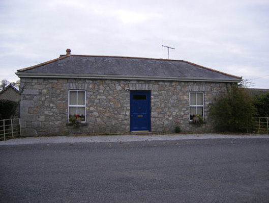
Levelled monument identified by Ó Ríordáin and Hunt (1942, 38) as Fort 1 and described as following: 'This was evidently the site of a stone-built fort, since a course of squared stones is visible in the farmyard of a modern house, and seems to run under the dwelling'. Site of earthwork marked on black and white aerial image numbered 14. Modern house and garden now stands on site of levelled monument.
See attached OSi 6-inch map annotated by Ó Ríordáin and Hunt (1942, 38), black and white aerial image with monument numbered 14 and Google Earth orthoimage taken 16/03/2016.
Compiled by: Alison McQueen and Vera Rahilly
Date of upload: 5 November 2020
The monument record does not grant public access. Check the route and ask the landowner before entering private land.
- What survives
- Recorded monument
Places near here
 CastleCastle, unclassified · 56 yd
 Cahirguillamore, hachuredFairy fort / stone ringfort · 158 yd
 Settlement desertedSettlement deserted, medieval · 188 yd
 RoadRoad, road/trackway · 293 yd
 Rockbarton Housegate lodge, outbuilding · 681 yd
 Bawn in Grange (smallcounty By.)Bawn · 1.1 mi
 Lough GurVisitor information · 1.3 mi
 Grange Stone CircleArchaeological place · 1.3 mi
 KnockainyMountain / peak · 4.4 mi
 European ashEuropean ash · 4.6 mi
 Villiers WellSpring · 5.0 mi
 Flat cemetery in Knockainy WestFlat cemetery · 5.4 mi