What is recorded here
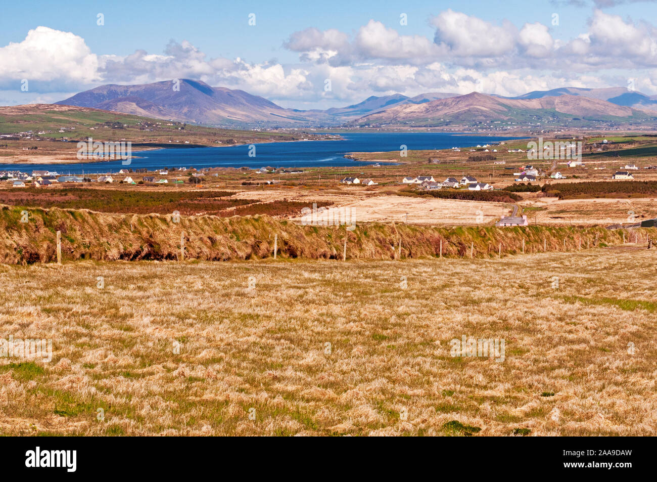
No visible wall or chamber remains in Caherpierce, though an old clachan and harbour-facing slope still mark the place. Story gives the lost site a circular wall, a hidden passage and perhaps a second ring, while the present ground resists that shape. The absence does not empty the account; it redirects attention to the living area where the fort disappeared.
Unlocated possible cashel described by Cuppage (1986, 220, no. 643) as follows; 'This site was described in the OSNB (Ballinvoher, 46) as a 'Caher' having a circular wall round it', but no trace of it was to be seen at that time, the area being in use as a kitchen garden. An Seabhac (1939, 58) mentions a lios and reputed Man-made underground passage [KE045-115002-] as well as the remains of the cashel, and this seems to suggest that there were 2 ringforts here. However, there are now no visible remains of either. The site is adjacent to the old clachan of Caherpierce, on a S facing slope overlooking Castlemaine Harbour'.
Compiled by: Caimin O'Brien
Date of upload: 7 April 2022
The monument record does not grant public access. Check the route and ask the landowner before entering private land.
- What survives
- Recorded monument
Places near here
 IndicatedHoly well · 430 yd
 Hut site in CaherpierceHut site · 803 yd
 BeenduffMountain / peak · 1161 yd
 KilnKiln, corn-drying · 1521 yd
 KnockmoreMountain / peak · 1657 yd
 Church in LackChurch · 1.1 mi
 Cromane PointHeadland · 1.9 mi
 Inch BeachBeach / strand · 2.9 mi
 Cromane BeachBeach / strand · 3.5 mi
 CastleCastle, unclassified · 3.7 mi
 Faisr's GraveArchaeological place · 3.8 mi
 Site of Camp CastleCastle, unclassified · 4.1 mi