What is recorded here
Caherbroder is a subcircular stone ringfort in County Galway, Ireland, where a collapsed drystone wall still marks a inhabited boundary in level grassland. Field-clearance rubble and modern breaches have softened the edge, but the shape remains large enough to suggest people lived, worked and remembered inside it. The ruins do not need a warning label; they invite curiosity about the hands that stacked the stones and the days when the fort was whole.
In level grassland. Poorly preserved subcircular cashel (53m NW-SE; 44m E-W) defined by a
collapsed drystone wall. Field-clearance rubble obscures the enclosing element at SW. Several breaches in the wall appear to be modern.
Compiled by: Galway Archaeological Survey, UCG
Date of upload: 10 January 2017
The monument record does not grant public access. Check the route and ask the landowner before entering private land.
- What survives
- Recorded monument
Places near here
 Holy well in CaherbroderHoly well · 360 yd
 CaveMan-made underground passage · 546 yd
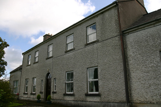 Prospect Housecountry house · 1628 yd
 Ashfield Ho.House, 18th/19th century · 1670 yd
 Swan IslandIsland · 1.5 mi
 Apple IslandWood · 1.6 mi
 Keaghery IslandWood · 1.6 mi
 Castle in ruinsCastle, tower house · 1.8 mi
 Castle IslandIsland · 1.9 mi
 Ardamullivan Castle (in ruins)Castle, tower house · 2.1 mi
 Kilmacduagh MonasteryHeritage attraction · 2.5 mi
 Kilmacduagh Monastic SiteVisitor information · 2.6 mi