What is recorded here
No visible wall remains in Caherawoneen South, but a circular enclosure about sixteen metres wide was marked in pastureland and rock outcrop when surveyed in 1838. The land may have swallowed the stones, erased the gate, or never have had more than a shallow cut and human memory. What is certain is that the circle was judged worth drawing, and what is lost is the life that filled it.
In pastureland and rock outcrop. Marked on the 1838 edition of the OS 6-inch map as a circular enclosure (diam. c. 16m). No visible surface trace survives.
Compiled by: Galway Archaeological Survey, UCG
Date of upload: 19 July 2019
The monument record does not grant public access. Check the route and ask the landowner before entering private land.
- What survives
- Recorded monument
Places near here
 farm housefarm house · 1.1 mi
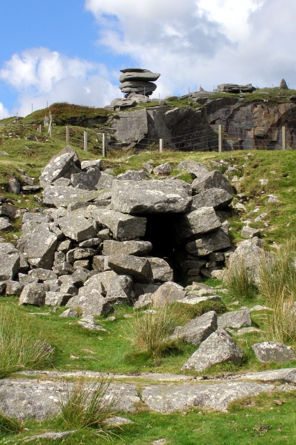 CaveMan-made underground passage · 1.1 mi
 EnclosureEnclosure, large enclosure · 1.2 mi
 Maryville Househouse · 1.2 mi
 Drumharsna Castle (in ruins)Castle, tower house · 1.8 mi
 Drumharsna CastleHeritage attraction · 1.8 mi
 Dungory Castle (in ruins)Castle, tower house · 1.9 mi
 Mulroney's IslandIslet · 2.9 mi
 European BeechEuropean Beech · 3.3 mi
 Cusheen IslandIslet · 3.3 mi
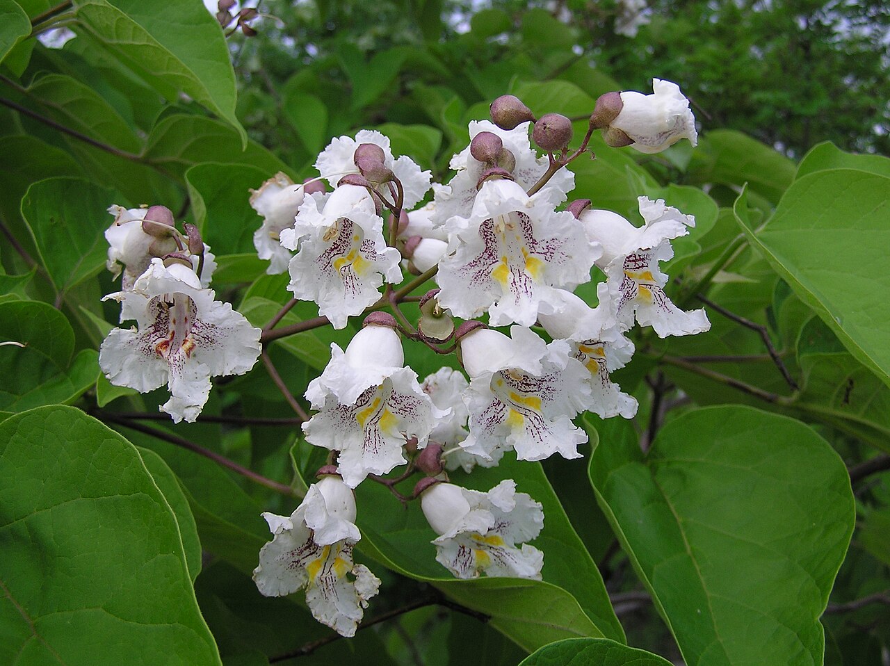 Southern catalpaSouthern catalpa · 3.3 mi
 Drumacoo Monastic SiteHeritage attraction · 4.6 mi