What is recorded here
Buckree's stone ringfort stands twenty-six metres across on a west-facing slope above the Blackwater River. A collapsed wall eight decimetres high marks the original boundary, while a later top wall adds another six. The name fairy fort suggests people once believed the circle belonged to something else entirely.
In pasture, on W-facing slope, overlooking Blackwater River. Circular area (26m N-S; 26m E-W) enclosed by collapsed stone wall (H 0.8m); topped by later wall (H 0.6m).
The above description is derived from the published 'Archaeological Inventory of County Cork. Volume 1: West Cork' (Dublin: Stationery Office, 1992). In certain instances the entries have been revised and updated in the light of recent research.
Date of upload/revision: 14 January 2009
The monument record does not grant public access. Check the route and ask the landowner before entering private land.
- What survives
- Recorded monument
Places near here
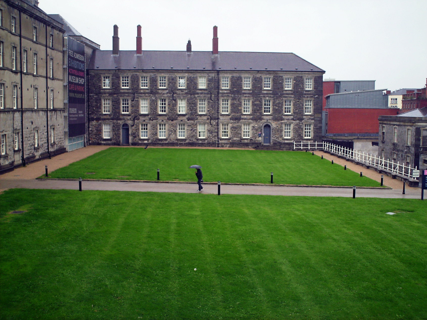 OCrowleys ChamberMan-made underground passage · 1030 yd
 IndicatedFairy fort / earthen ringfort · 1.1 mi
 monumentmonument · 1.1 mi
 Castle RockNamed rock · 1.5 mi
 OCrowleys Castle (in Ruins)Castle, tower house · 1.7 mi
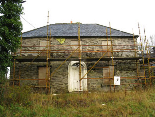 Tower Viewhouse · 1.8 mi
 Kilmichael Ambushambush · 3.1 mi
 Kilmichael Ambush SiteMonument · 3.1 mi
 Irish National Forestry FoundationNature reserve · 3.3 mi
 Green HillMountain / peak · 4.8 mi
 Funmanway Adventure LandHeritage attraction · 4.9 mi
 Mount GunneryMountain / peak · 5.0 mi