What is recorded here
Magic and myth surround Briscloonagh, yet the facts point to human hands. The site holds a circular grass and rush-covered area nearly twenty metres across, bounded by a scrub-covered stone spread and intermittently visible facing-stones. A narrow western entrance leads into the middle, while a later field wall overlays part of the ancient structure on the eastern and south-western sides. The shape and setting suggest a lived-in place on the steep Glenfarne slope, not a fantasy made empty by distance.
Located on a slight prominence on a steep N-facing slope of Glenfarne valley. Grass and rush-covered circular area (int. diam. 19.8m N-S; 19.5m E-W) defined by a scrub-covered stone spread (Wth 2.5-5m) with intermittently visible facing-stones of a wall (Wth 1-2.5m; H up to 0.6m), which is overlain by a field wall E-SW. The entrance (Wth 0.8m) is at W.
The above description is derived from 'The Archaeological Inventory of County Leitrim' compiled by Michael J. Moore (Dublin: Stationery Office, 2003). In certain instances the entries have been revised and updated in the light of recent research.
Date of upload: 23 September 2008
The monument record does not grant public access. Check the route and ask the landowner before entering private land.
- What survives
- Recorded monument
Places near here
 IndicatedSweathouse · 505 yd
 Ballaghnabehy TopMountain / peak · 1256 yd
 Enclosure in MunnagashelEnclosure · 1.2 mi
 Grave YardChurch · 1.5 mi
 Saint Michael's Catholic Churchgates/railings/walls · 1.7 mi
 BronaghMountain / peak · 2.6 mi
 The Giants GraveArchaeological place · 3.0 mi
 Giants RockNamed rock · 4.5 mi
 Lough MacNean WalkWalking route · 5.1 mi
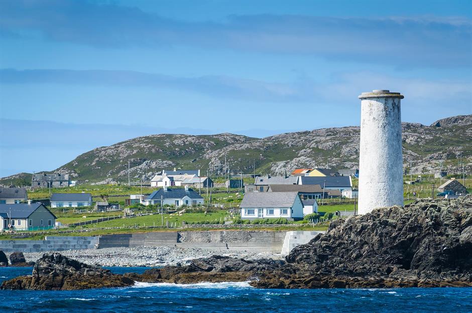 Bilberry IslandIslet · 5.3 mi
 Saint Patrick's IslandIslet · 5.3 mi
 TobermurrySpring · 5.3 mi