
What is recorded here
No wall ever closed the circle, yet people still call it a caher because the rectangular house stands proud on the knoll above Cove Harbour. Its foundations are wide enough to bear a roof, its door is still marked by two upright slabs, and a field wall cuts through the middle like a later decision imposed on an older life. The missing underground entrance suggests the ground itself once continued the building downward.
Not marked on the OS maps, this site is located on a small knoll in rough pasture overlooking Cove Harbour to SE. It is known locally as a 'Caher', though there is no trace of an enclosing wall and no evidence to suggest the former presence of one. The site at present consists of the overgrown foundations, 1.3m wide, of a rectangular house (KE106-121001-) which measures 6m x 5.2m internally. The inner facing of the foundations is formed by a row of slabs set on edge, averaging .75m long, while the outer facing, where discernible, appears as roughtly coursed masonry. An entrance, defined by two upright slabs set .8m apart, survives at S. The house is bisected by a field wall and the E half of its interior is filled with stone debris.
An entrance to an underground passage, probably a Man-made underground passage (KE106-121002-), is locally reputed to occur at the S side of the house. This is no longer visible. An old field system (KE106-121003-) abuts the site at N.
The above description is derived from A. O'Sullivan and J. Sheehan (compilers), 'The Iveragh peninsula: an archaeological survey of South Kerry'. Cork University Press (1996), no. 637. In certain instances the entries have been revised and updated in the light of recent research.
Date of upload: 29 July 2013
This remains an important historical record, but the official description says the monument is no longer visible or has been destroyed. The monument record does not grant public access. Check the route and ask the landowner before entering private land.
- What survives
- No visible remains or recorded as destroyed
Places near here
 Indicated (1896).Enclosure · 682 yd
 IndicatedEnclosure · 715 yd
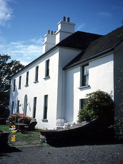 Westcove Househouse · 1155 yd
 Trá an Ghleanna Bhig / Glanbeg BeachBeach / strand · 1260 yd
 Reen BeachBeach / strand · 1293 yd
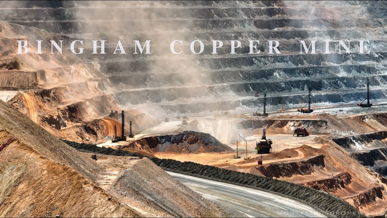 MineMine, copper · 1521 yd
 Castle Cove (in Ruins)Castle, tower house · 1.5 mi
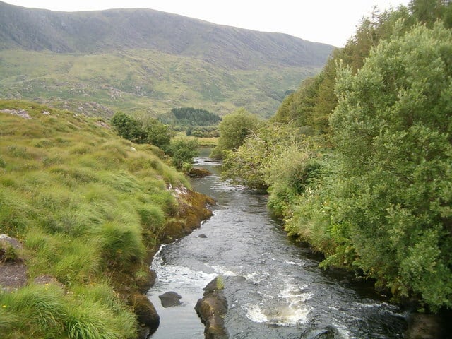 Eagle HillMountain / peak · 2.2 mi
 Ogham StoneVisitor information · 2.2 mi
 Cahernageeha MountainMountain / peak · 2.4 mi
 Derrynane House / Teach Dhoire FhionáinHeritage attraction · 2.6 mi
 Páirc Náisiúnta Stairiúil Dhoire Fhíonáin / Derrynane National Historic ParkNature reserve · 2.7 mi
Other information
Photo: Credit not shown in the picture search · Rights wording not checked; contact us if this picture should be removed