
What is recorded here
No surface trace remains of the circular enclosure marked at this location on the first edition of the OS map. It was located in pasture on a natural plateau which overlooks Cove Harbour to SE.
The above description is derived from A. O'Sullivan and J. Sheehan (compilers), 'The Iveragh peninsula: an archaeological survey of South Kerry'. Cork University Press (1996), no. 796. In certain instances the entries have been revised and updated in the light of recent research.
Date of upload: 29 July 2013
The monument record does not grant public access. Check the route and ask the landowner before entering private land.
- What survives
- Recorded monument
Places near here
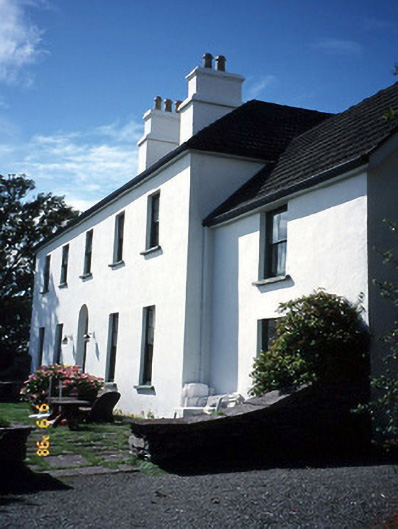 Westcove Househouse · 475 yd
 Fairy fort / stone ringfort in BrackaharaghFairy fort / stone ringfort · 682 yd
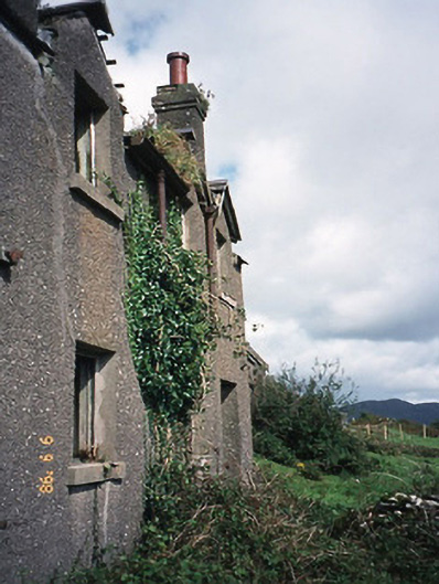 coastguard stationcoastguard station · 969 yd
 Reen BeachBeach / strand · 1021 yd
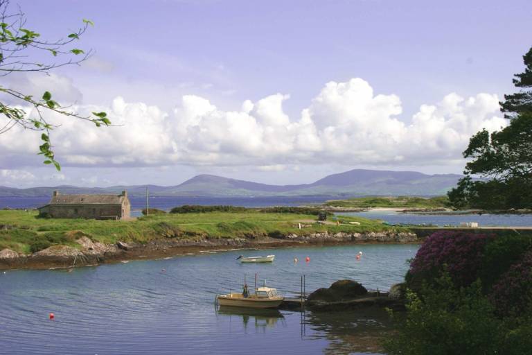 Man-made underground passage in CoadMan-made underground passage · 1290 yd
 Trá an Ghleanna Bhig / Glanbeg BeachBeach / strand · 1.1 mi
 Castle Cove (in Ruins)Castle, tower house · 1.1 mi
 Eagles HillMountain / peak · 2.3 mi
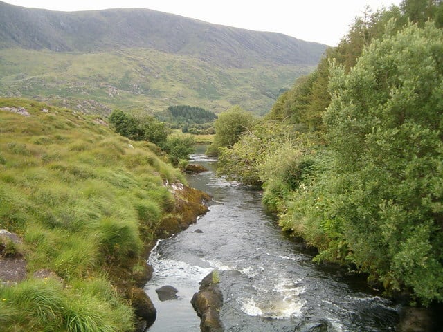 Eagle HillMountain / peak · 2.6 mi
 Ogham StoneVisitor information · 2.6 mi
 Derrynane House / Teach Dhoire FhionáinHeritage attraction · 3.0 mi
 Páirc Náisiúnta Stairiúil Dhoire Fhíonáin / Derrynane National Historic ParkNature reserve · 3.1 mi
Other information
Photo: Credit not shown in the picture search · Rights wording not checked; contact us if this picture should be removed