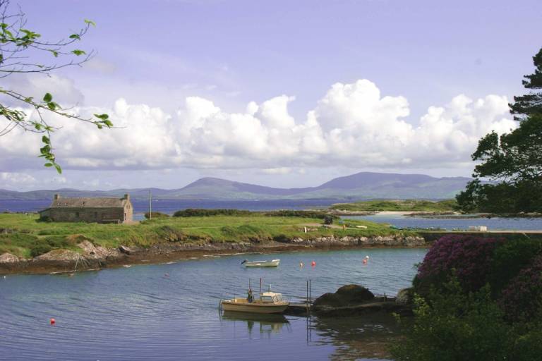
What is recorded here
A portion of this Man-made underground passage was uncovered in 1995. The exposed section of passage, orientated approximately E-W, measured 4.4m long and had two stone-built steps at the W end. The passage was 0.6m wide at the base and the dry-stone walls, c. 1.5m high, inclined inwards towards the top (SMR file).
Compiled by: Paul Walsh
Date of upload: 13 October 2014
The monument record does not grant public access. Check the route and ask the landowner before entering private land.
- What survives
- Recorded monument
Places near here
 Old TreeRitual site, holy tree/bush · 203 yd
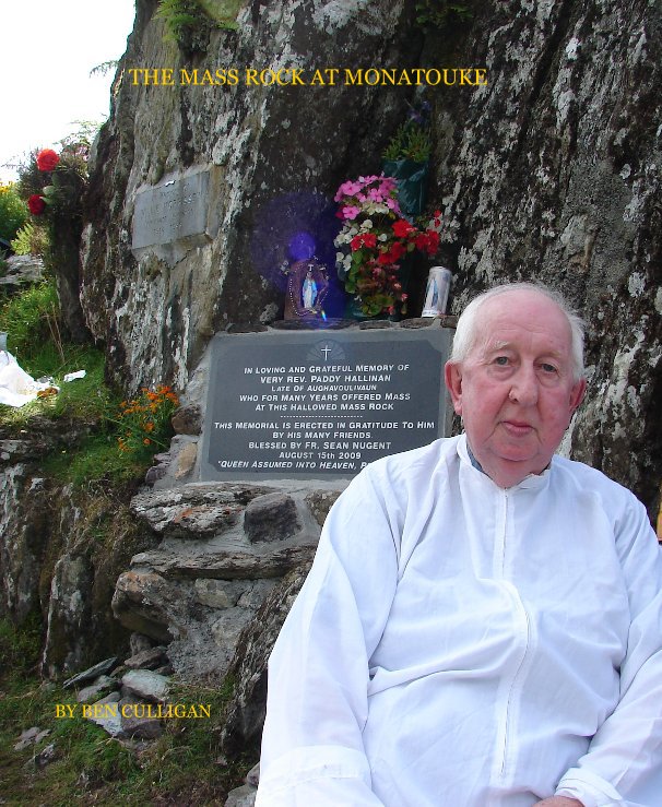 Mass-rock in BehaghaneMass-rock · 205 yd
 Kilcrohane Church (in ruins)Church · 228 yd
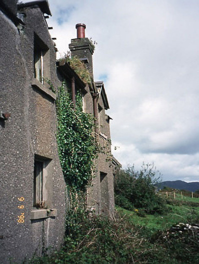 coastguard stationcoastguard station · 1015 yd
 Castle Cove (in Ruins)Castle, tower house · 1733 yd
 Reen BeachBeach / strand · 1.2 mi
 Eagles HillMountain / peak · 1.5 mi
 Trá an Ghleanna Bhig / Glanbeg BeachBeach / strand · 1.7 mi
 Cnoc na StéigeMountain / peak · 1.9 mi
 Ogham StoneVisitor information · 2.9 mi
 2Cliff · 3.0 mi
 IllaundraneIslet · 3.2 mi
Other information
Photo: Credit not shown in the picture search · Rights wording not checked; contact us if this picture should be removed