
What is recorded here
For descriptive account see O'Sullivan and Sheehan (1996, 325, no. 984).
The above description is derived from the published 'Archaeological Inventory of County Kerry. Volume I: South-West Kerry' (Dublin: Stationery Office, 2009). In certain instances the entries have been revised and updated in the light of recent research.
Date of upload: 30 May 2011
The monument record does not grant public access. Check the route and ask the landowner before entering private land.
- What survives
- Recorded monument
Places near here
 Trá an Ghleanna Bhig / Glanbeg BeachBeach / strand · 641 yd
 Fairy fort / stone ringfort in BrackaharaghFairy fort / stone ringfort · 715 yd
 Man-made underground passage in An Gleann BeagMan-made underground passage · 735 yd
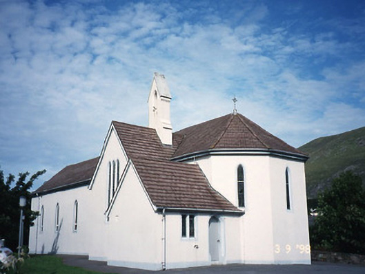 Saint Crohan's Catholic Churchchurch/chapel · 1.0 mi
 Reen BeachBeach / strand · 1.0 mi
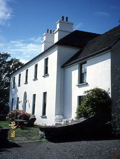 Westcove Househouse · 1.1 mi
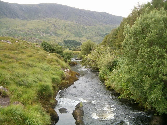 Eagle HillMountain / peak · 1.8 mi
 Ogham StoneVisitor information · 1.9 mi
 Castle Cove (in Ruins)Castle, tower house · 1.9 mi
 Cahernageeha MountainMountain / peak · 2.2 mi
 Derrynane House / Teach Dhoire FhionáinHeritage attraction · 2.2 mi
 Páirc Náisiúnta Stairiúil Dhoire Fhíonáin / Derrynane National Historic ParkNature reserve · 2.3 mi
Other information
Photo: Credit not shown in the picture search · Rights wording not checked; contact us if this picture should be removed