
What is recorded here
This blocked Man-made underground passage, not marked on the OS maps, is located in a low hillock a short distance W of the White Strand, locally called Glanbeg Strand, on the N shore of Kenmare Bay. Its only visible surface trace is an earth-embedded slab, now largely concealed in overgrowth. The passage, which is aligned E-W, has been inaccessible for many years (local information). The site is locally called 'Cnocán na hÓnach' (Ó Cíobháin 1984a, 77).
The above description is derived from A. O'Sullivan and J. Sheehan (compilers), 'The Iveragh peninsula: an archaeological survey of South Kerry'. Cork University Press (1996), no. 882. In certain instances the entries have been revised and updated in the light of recent research.
Date of upload: 29 July 2013
The monument record does not grant public access. Check the route and ask the landowner before entering private land.
- What survives
- Recorded monument
Places near here
 Trá an Ghleanna Bhig / Glanbeg BeachBeach / strand · 151 yd
 IndicatedEnclosure · 735 yd
 SheepfoldHut site · 1115 yd
 Trá An Ráth / Rath BeachBeach / strand · 1601 yd
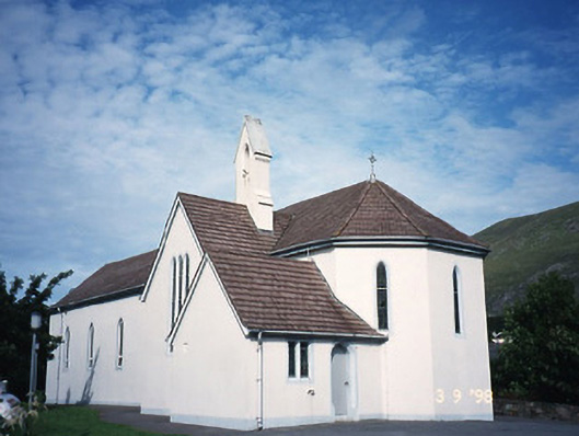 Saint Crohan's Catholic Churchchurch/chapel · 1.0 mi
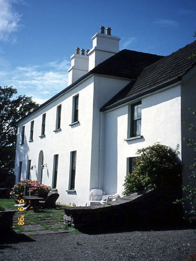 Westcove Househouse · 1.4 mi
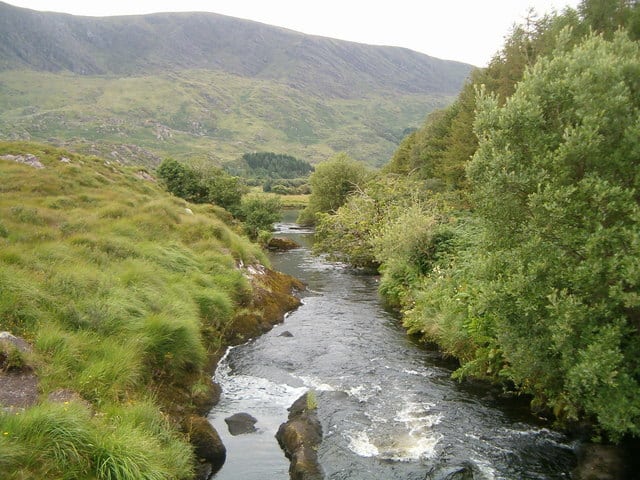 Eagle HillMountain / peak · 1.5 mi
 Ogham StoneVisitor information · 1.7 mi
 Derrynane House / Teach Dhoire FhionáinHeritage attraction · 2.1 mi
 Páirc Náisiúnta Stairiúil Dhoire Fhíonáin / Derrynane National Historic ParkNature reserve · 2.2 mi
 Castle Cove (in Ruins)Castle, tower house · 2.2 mi
 Cahernageeha MountainMountain / peak · 2.4 mi
Other information
Photo: Credit not shown in the picture search · Rights wording not checked; contact us if this picture should be removed