What is recorded here
Fairy fort / stone ringfort in Bearnafunshin is a circular stone spread about fifteen metres across on a gentle east-facing slope in County Clare, Ireland. It appears on the 1920 OS 6-inch map, sits near the Curraderra boundary, and remains visible beneath overgrowth despite the M18 motorway running fifty metres to the southeast. The stones may have marked a dwelling, a boundary, or a place people avoided after dark.
On a gentle E-facing heavily overgrown slope with limestone outcrop. Hachured on the 1920 OS 6-inch map. A circular area (diam. c. 15m) defined by an overgrown stone spread (at S: Wth 3.5m; max. H 0.35m). The townland boundary with Curraderra lies c. 12m to the W and the M18 motorway is 50m to the SE.
Compiled by: Michael Moore and Mary Tunney
Date of upload: 17 November 2025
The monument record does not grant public access. Check the route and ask the landowner before entering private land.
- What survives
- Recorded monument
Places near here
 Enclosure in BallyoganEnclosure · 844 yd
 Enclosure in BearnafunshinEnclosure · 1429 yd
 Abbey (in ruins)Religious house, Augustinian canons · 1726 yd
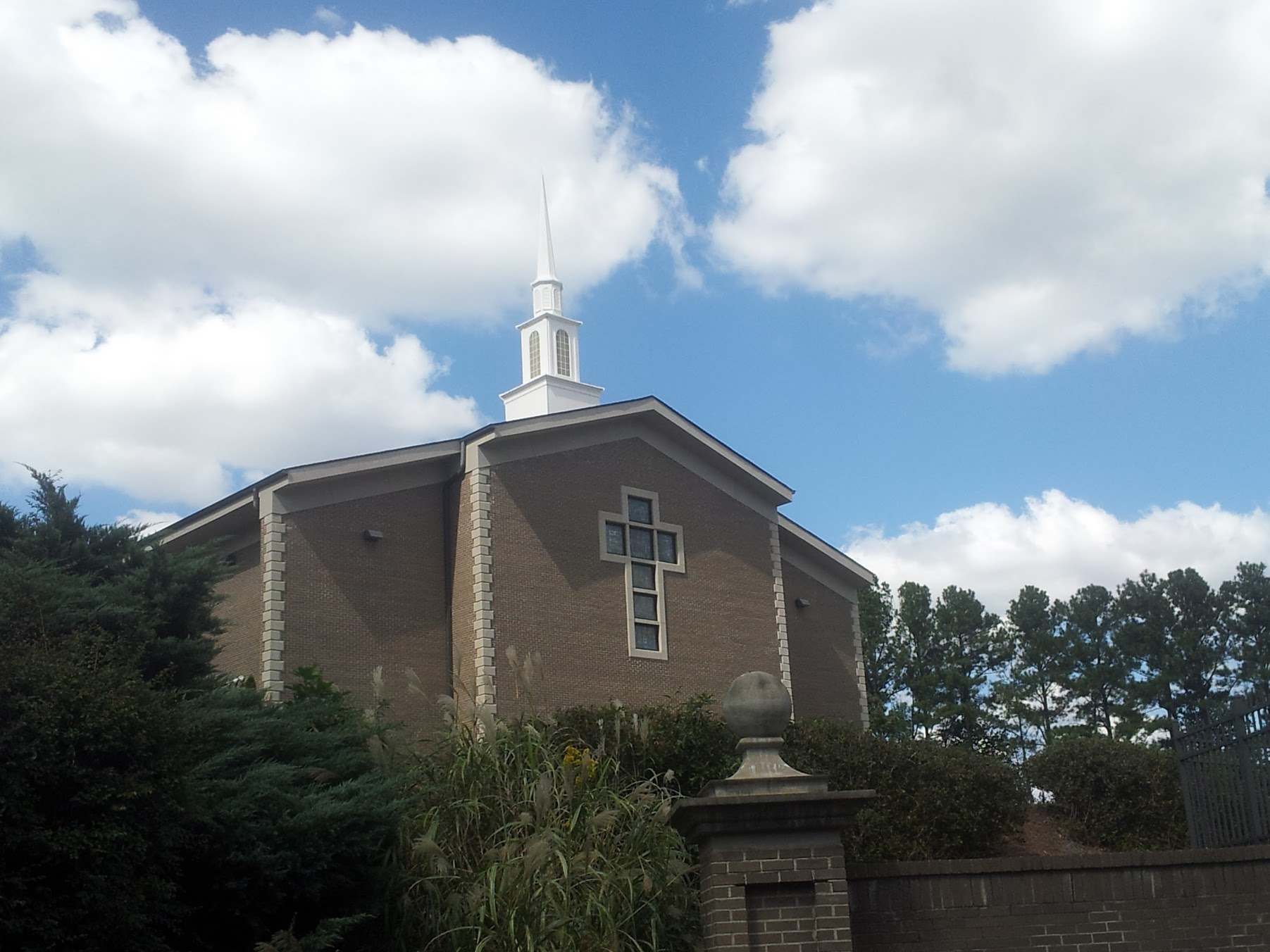 Church in KillianChurch · 1.1 mi
 CastleCastle, ringwork · 1.5 mi
 Castle (in ruins)Castle, unclassified · 1.6 mi
 Dromore WoodWood · 1.9 mi
 Mulkere MemorialMemorial · 2.4 mi
 Derrymore WoodWood · 2.6 mi
 Battle of TullyodeaBattlefield · 4.0 mi
 Ennis AbbeyMuseum · 4.9 mi
 Clare MuseumMuseum · 5.1 mi