What is recorded here
That is the story of the visible facts provided.
In rough mountain pasture, on lower N-facing slope of Lackawee at N end of Slieve Miskish mountain, commanding extensive view of wooded stream valley. Arc (C 14.5m) ENE->SE formed by stone bank (int. H 0.2m; ext. H 0.6m; Wth 2m). Possible Man-made underground passage (CO102-033---) 9.5m to W. Area W of Man-made underground passage slopes gently down to NNW, crossed by cultivation ridges on NW-SE axis. Locally known as "the lios".
The above description is derived from the published 'Archaeological Inventory of County Cork. Volume 1: West Cork' (Dublin: Stationery Office, 1992). In certain instances the entries have been revised and updated in the light of recent research.
Date of upload/revision: 14 January 2009
The monument record does not grant public access. Check the route and ask the landowner before entering private land.
- What survives
- Recorded monument
Places near here
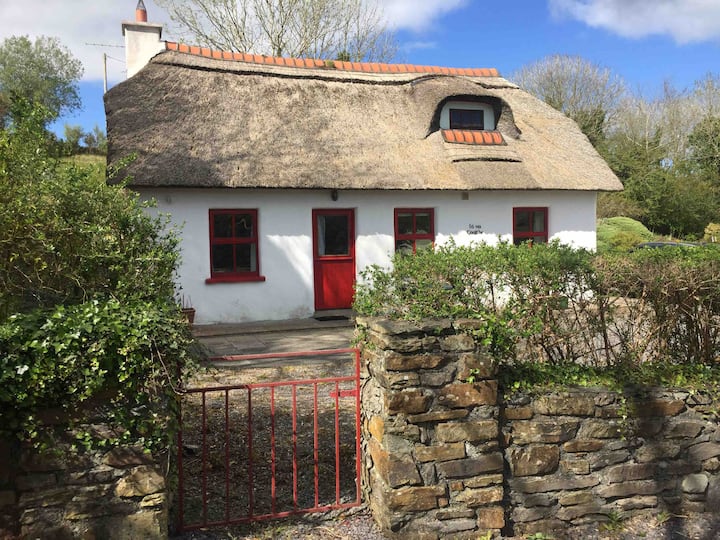 Hut site in BarreesHut site · 486 yd
 Field boundary in Barrees,bawnardField boundary · 699 yd
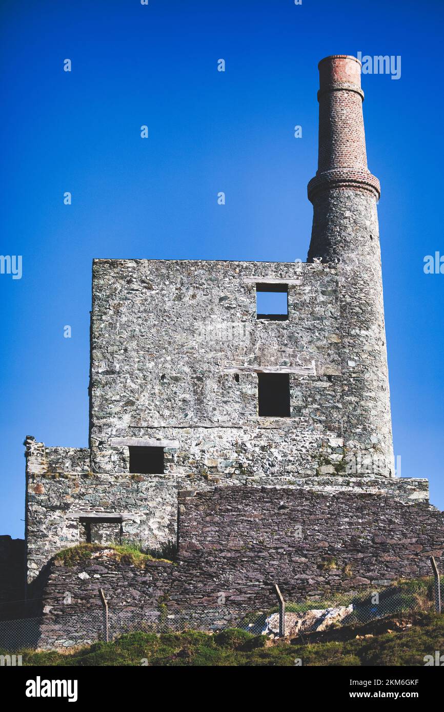 MineMine, copper · 1230 yd
 coastguard stationcoastguard station · 1.3 mi
 SkelligMountain / peak · 1.5 mi
 GortbrackMountain / peak · 1.9 mi
 Beara WayWalking route · 1.9 mi
 Eyeries - Coastguard Station LoopWalking route · 2.3 mi
 CarrigleamoreIslet · 2.4 mi
 Wild Atlantic WayVisitor information · 2.4 mi
 Eyeries IslandIslet · 2.6 mi
 Pallas StrandBeach / strand · 2.9 mi