What is recorded here
The rocky ridge above Sheephaven Bay still holds a shallow oval trench, narrow enough for a dozen people to crowd inside when storms threatened. Its western wall leans against the living rock, while a transverse stone near the south gap suggests an entrance rather than a broken line. People may have herded goats through that gap or simply watched the back strand below, but the shape resists forgetting. Even reduced to a low rim, the fort keeps its boundary clear on the edge of the sky.
Internal diam. c. 20m N-S, c. 14m E-W. The enclosed area was approximately oval in plan. The wall is now traceable from NW to just E of S. On the, W it is built along the top edge of a rocky platform and is c. 2.5m in width and no more than .5m high. Just E of S a stone set transversely to the line of the wall may mark the W side of the cashel entrance. A gap 1m wide is visible here. A modern field wall now runs along the E side close to the top of the steep edged rocky platform. A 'hut'(DG026-005002-)is indicated by a low grassed-over stone wall not exceeding .3m in height 2m to 3m in width, at the centre. The site is on an elevated platform of rock towards the E end of an E-W ridge which overlooks the Back Strand, of Sheephaven Bay. There is extensive rock outcrop and rough grazing about the site and good land at lower levels to the N.
The above description was derived from the 'Archaeological Survey of County Donegal. A description of the field antiquities of the County from the Mesolithic Period to the 17th century.' Compiled by: Brian Lacey with Eamon Cody, Claire Cotter, Judy Cuppage, Noel Dunne, Vincent Hurley, Celie O'Rahilly, Paul Walsh and Seán Ó Nualláin (Lifford: Donegal County Council, 1983). In certain instances the entries have been revised and updated.
Date of upload: 22 September 2008
The monument record does not grant public access. Check the route and ask the landowner before entering private land.
- What survives
- Recorded monument
Places near here
 Ballymore Lower Stone-Walled RingfortFairy fort / earthen ringfort · 654 yd
 The TunnelHeritage attraction · 1127 yd
 Saint John's Church (Clondahorky)church/chapel · 1133 yd
 Ballymore Lower Tomb near DunfanaghyMegalithic tomb · 1168 yd
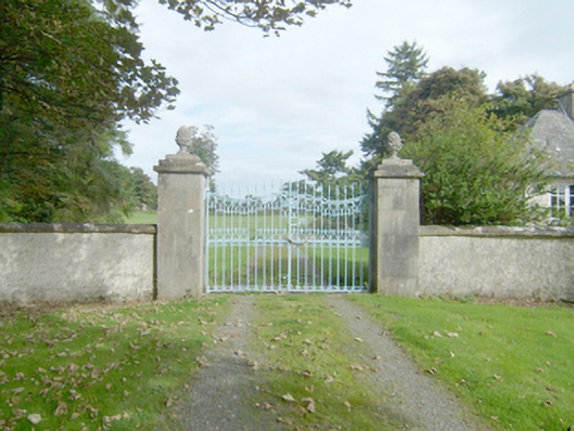 Marble Hilldemesne walls/gates/railings · 1454 yd
 Ards Forest ParkForest recreation place · 1.2 mi
 Clonmass IslandIslet · 1.5 mi
 Ards Friary Coastal LoopOfficial walking route · 1.7 mi
 Mc Swynes CastleCastle, unclassified · 1.7 mi
 Monterey PineMonterey Pine · 1.7 mi
 Breaghy HeadHeadland · 2.0 mi
 Doe CastleCastle, tower house · 2.5 mi