
What is recorded here
Internal diam. c. 45m NNW-SSE, c. 23m ENE-WSW. An oval area enclosed by a collapsed stone wall up to 1m in height and originally 1.95m wide. Externally to the E and Ware sharp drops. Internally on the W side is a 4m square structure of collapsed stone walls now 3m wide. There is a gap in this collapse at the SE corner. Just N of this structure a slab 1.7m long projects out of the ground. The site is located on a NE-SW hill overlooking the Back Strand, in rough pasture and in a commanding position.
The above description was derived from the 'Archaeological Survey of County Donegal. A description of the field antiquities of the County from the Mesolithic Period to the 17th century.' Compiled by: Brian Lacey with Eamon Cody, Claire Cotter, Judy Cuppage, Noel Dunne, Vincent Hurley, Celie O'Rahilly, Paul Walsh and Seán Ó Nualláin (Lifford: Donegal County Council, 1983). In certain instances the entries have been revised and updated.
Date of upload: 22 September 2008
A local fairy fort (ringfort/rath); wider significance not recorded.
The monument record does not grant public access. Check the route and ask the landowner before entering private land.
- What survives
- Recorded monument
Places near here
 The TunnelHeritage attraction · 506 yd
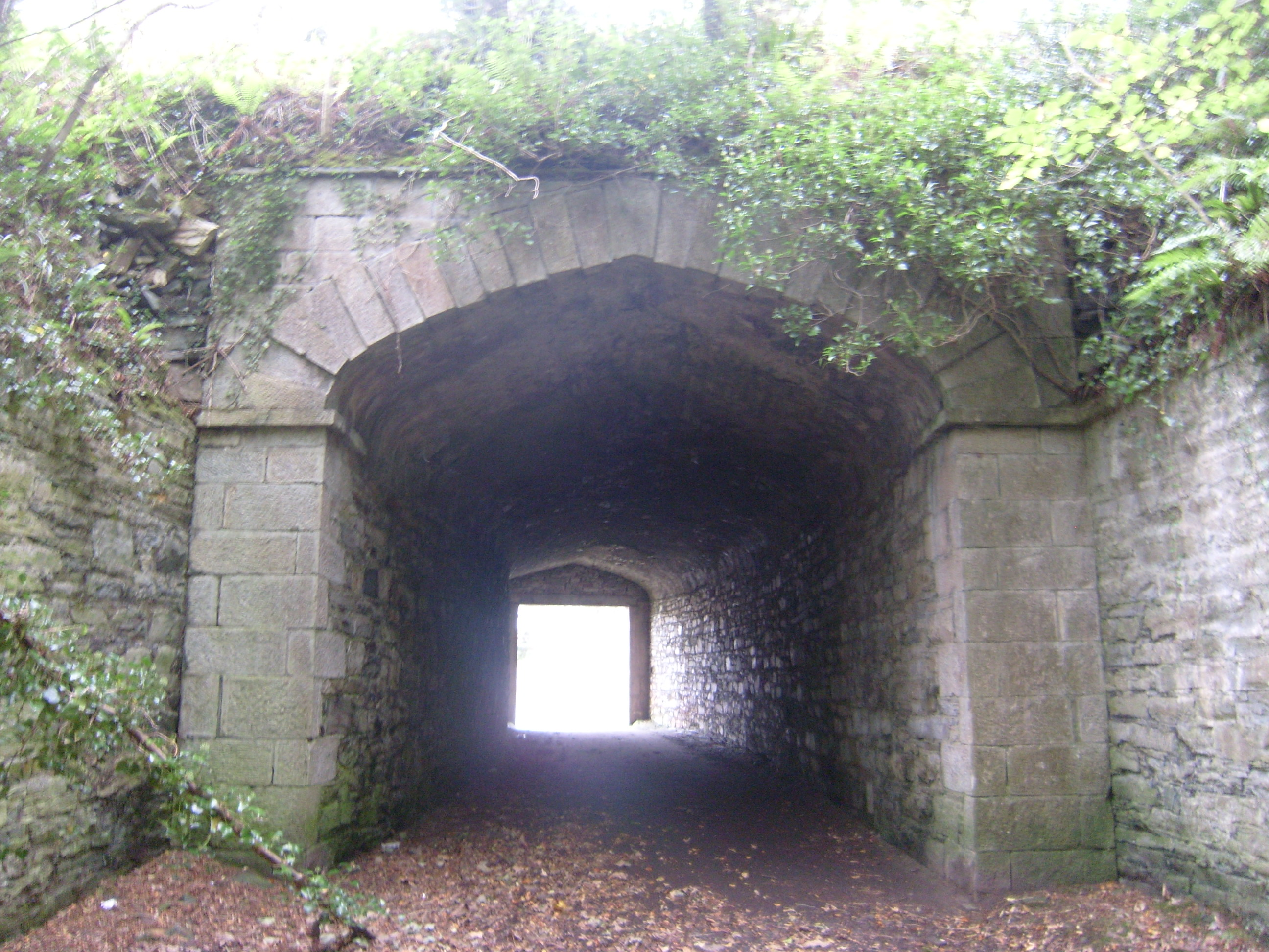 Ards Housetunnel · 522 yd
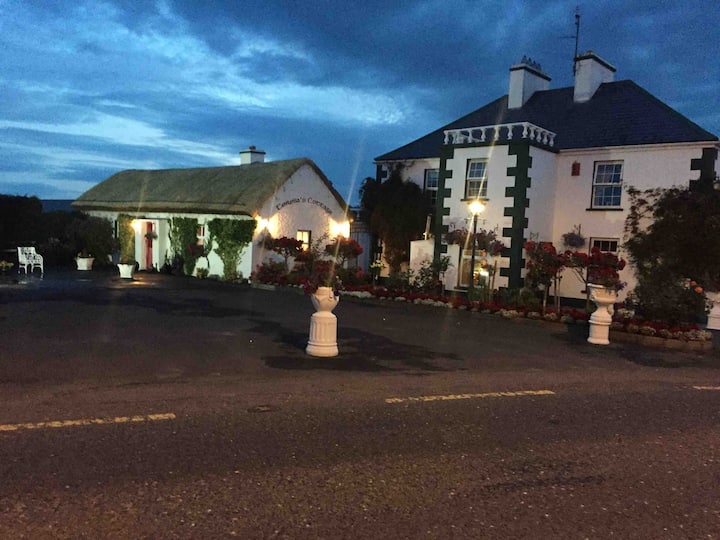 Dermot & Grania's BedArchaeological place · 549 yd
 Saint John's Church (Clondahorky)church/chapel · 556 yd
 Ballymore Lower Tomb near DunfanaghyMegalithic tomb · 562 yd
 Ards Forest ParkForest recreation place · 1496 yd
 Mc Swynes CastleCastle, unclassified · 1.6 mi
 Clonmass IslandIslet · 1.8 mi
 Ards Friary Coastal LoopOfficial walking route · 2.0 mi
 Monterey CypressMonterey Cypress · 2.1 mi
 Breaghy HeadHeadland · 2.2 mi
 Kill Old Church GraveyardGraveyard · 2.4 mi
Other information
Photo: Credit not shown in the picture search · Rights wording not checked; contact us if this picture should be removed