What is recorded here
Ballylin West contained a thirty-four metre stone ring, visible in 1983 but erased by 1992, leaving only a rubble pile and a hidden underground passage at its centre. The quick disappearance suggests the field was cleared for pasture rather than studied, yet the buried passage still waits beneath the soil. What was built there, who entered it, and why the ring needed hiding remains unknown.
In gently undulating pastureland. When initially visited by the Survey in March 1983, this poorly preserved circular cashel (diam. c. 34m) was defined by a drystone wall. When revisited in 1992, it had been levelled and, apart from a pile of field-clearance rubble in the SE corner of the field, no visible surface trace survived. A Man-made underground passage (GA104-040001-) lies in the centre of the interior. (McCaffrey 1952, 214, no. 71)
Compiled by: Galway Archaeological Survey, UCG
Date of upload: 22 December 2016
The monument record does not grant public access. Check the route and ask the landowner before entering private land.
- What survives
- Recorded monument
Places near here
 CaveMan-made underground passage · 1 yd
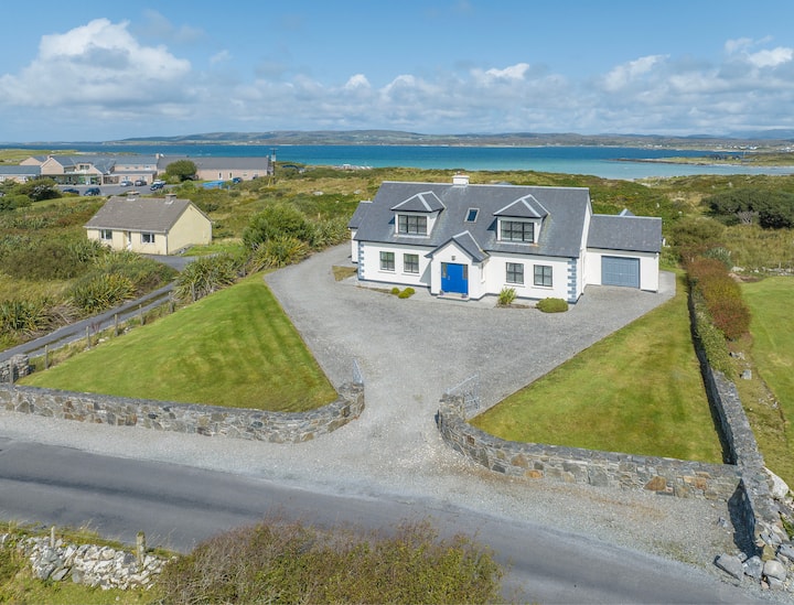 Enclosure in Ballylin WestEnclosure · 493 yd
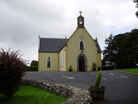 Saint Killian's Catholic Churchchurch/chapel · 865 yd
 Ballymanagh Ho.House, 18th/19th century · 910 yd
 CarnanthomasCastle, unclassified · 1582 yd
 Cregg Castle (in ruins)Castle, tower house · 1.0 mi
 Moyard WoodWood · 4.7 mi
 Kilcornan ForestWood · 6.2 mi
 Scalpeen RockNamed rock · 6.5 mi
 Drumacoo Monastic SiteHeritage attraction · 7.6 mi
 MweenisharanIslet · 9.1 mi
 Mulroney's IslandIslet · 9.8 mi