What is recorded here
No visible wall remains from SE to SW, yet the missing half still blocks every attempt to draw the circle complete. The fort is a hole in the ground wearing the shape of a room, waiting for the person stupid enough to stop measuring and start remembering.
In an area of rock outcrop, at S edge of woodland. Poorly preserved circular cashel (diam. c. 27m) defined by a collapsed drystone wall from E to SE. No visible surface trace survives from SE to SW. A later field wall overlies the enclosing element from SW to N to E. (McCaffrey 1952, 262, no. 42)
Compiled by: Galway Archaeological Survey, UCG
Date of upload: 14 October 2016
The monument record does not grant public access. Check the route and ask the landowner before entering private land.
- What survives
- Recorded monument
Places near here
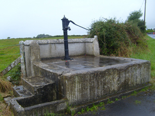 water pumpwater pump · 839 yd
 CavesMan-made underground passage · 887 yd
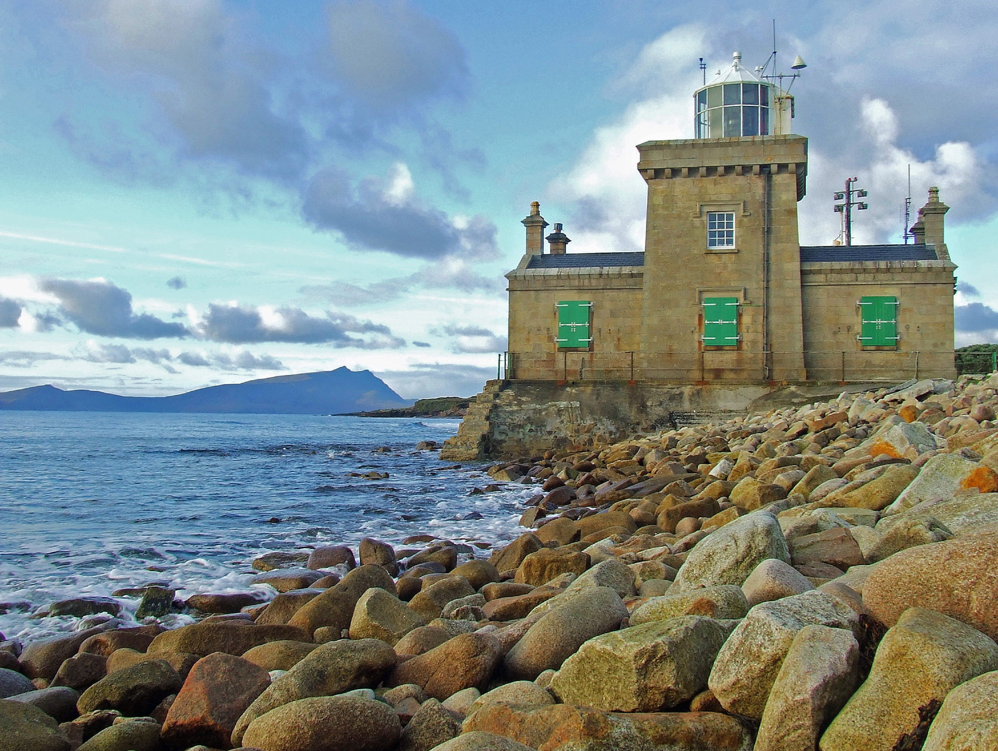 Man-made underground passage in Ballyglass West (dunkellin By.)Man-made underground passage · 953 yd
 Drumharsna Castle (in ruins)Castle, tower house · 967 yd
 Drumharsna CastleHeritage attraction · 969 yd
 Ballymaquiff CastleCastle · 1571 yd
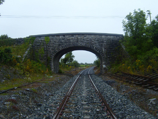 bridgebridge · 1594 yd
 HawthornHawthorn · 2.2 mi
 European ashEuropean ash · 2.2 mi
 Mulroney's IslandIslet · 4.4 mi
 Cusheen IslandIslet · 4.8 mi
 Drumacoo Monastic SiteHeritage attraction · 5.0 mi