What is recorded here
Fairy forts are human ringforts misnamed by later folklore, and Ballyduane is one of them: a shallow oval, twenty metres across, enclosed by a low earth and stone bank with a narrow eastern gap. It sits on a slight slope in pasture, near a fulacht fia, suggesting people lived, cooked, and marked territory there before the field expanded around it. The name fairy fort may record forgetfulness more than magic, yet the place still holds the shape of human choice: a boundary made, a gap left open, and a life lived inside the circle.
In pasture, on slight N facing slope of rising ground, 30m S of the townland boundary with Ballymacashel and 75m SE of a fulacht fia (LI012-126----). Present remains consist of a slightly raised oval-shaped area (int. diam. 20m) enclosed by an earth and stone bank (int. H 0.25m; ext. H 0.8m; base Wth 4.5m) with stone-revetted entrance gap (Wth 1.45m) at E. The interior is level and overgrown. Large flat stones (approx. dims. 1.2m x 0.7m x 0.25m) forming a revetment at the base of the bank is visible at SE and around the entrance gap. Field clearance material has been dumped on the bank at NE and SW while a field boundary running N-S intersects the perimeter of the monument at E. Google Earth orthoimage taken 2019 shows the monument heavily overgrown with the enclosing bank visible from S through to W.
See attached Google Earth orthoimage taken 19/11/2019
Compiled by: Martin Fitzpatrick
Date upload: 18 June 2020
The monument record does not grant public access. Check the route and ask the landowner before entering private land.
- What survives
- Recorded monument
Places near here
 Enclosure in TervoeEnclosure · 736 yd
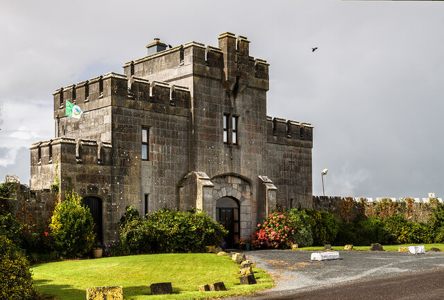 Elm Park Housegate lodge · 1134 yd
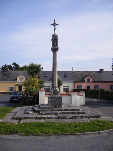 Monsell Monumentmonument · 1198 yd
 Grave YardGraveyard · 1599 yd
 St James's WellSpring · 1.1 mi
 Carrigogunnell CastleRuins · 1.2 mi
 Meelick Ho.House, fortified house · 1.7 mi
 Coonagh NatureNature reserve · 1.7 mi
 Sailors HaggardMemorial · 2.0 mi
 Grass IslandIslet · 4.5 mi
 Cratloe WoodsForest · 4.7 mi
 Maiden RockNamed rock · 4.8 mi