What is recorded here
An Chathair in Ballycullane is a large, irregularly-shaped enclosure that probably dates from the modern era, yet local memory claims a cashel once stood there before its stones were reused for the present walls. The site measures 53.8m E-W x 60.4m N-S internally with walls up to 3m wide and 1.6m high, and a man-made underground passage is said to have existed beneath it. What is visible today may be the rebuilt skin of an older fort, its true shape hidden inside the ordinary field boundary.
The large, irregularly-shaped enclosure at this location is probably relatively modern, and the enclosing walls do not differ significantly in construction or size from adjacent field walls. It measures 53.8m E-W x 60.4m N-S internally and the walls are up to 3m wide and 1.6m high. However, the site is known locally as An Chathair, and the cashel which formerly occupied the site is thought to have been knocked down to provide building material for the present enclosure. There was also reputedly a Man-made underground passage at the site (local information; An Seabhac 1939, 199).
The above description is derived from J. Cuppage, ‘Corca Dhuibhne. Dingle Peninsula archaeological survey. Ballyferriter. Oidhreacht Chorca Dhuibhne’ (1986), no. 617. In certain instances the entries have been revised and updated in the light of recent research.
Date of upload: 7 August 2013
The monument record does not grant public access. Check the route and ask the landowner before entering private land.
- What survives
- Recorded monument
Places near here
 Man-made underground passage in Ballycullane (corkaguiny By.)Man-made underground passage · 1 yd
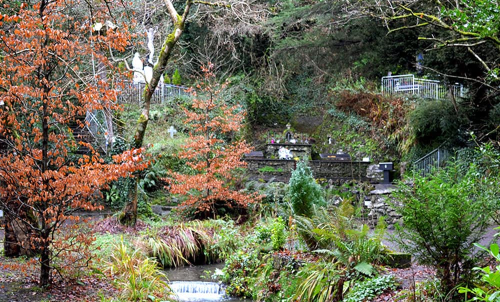 Holy well in BallinagrounHoly well · 783 yd
 Church in Inch East (corkaguiny By.)Church · 922 yd
 EmlaghMountain / peak · 1619 yd
 BeenduffMountain / peak · 1.6 mi
 Inch BeachBeach / strand · 1.8 mi
 KilnKiln, corn-drying · 2.1 mi
 Cromane PointHeadland · 2.5 mi
 Cromane BeachBeach / strand · 3.4 mi
 Bunaneer StrandBeach / strand · 4.2 mi
 Statue of Our LadyHeritage attraction · 4.3 mi
 Jerome ConnorMemorial · 4.4 mi