What is recorded here
Fairy forts hide in plain sight, wearing grass and forgetting their own names. Ballycarroll is a stone ring on a slight rise, wide enough for a small life and old enough to stop measuring. The cairn at its heart still points toward something lost.
Situated on a slight rise in rough grazing. Listed as 'Enclosure' in the SMR (1992) and the RMP (1996). A circular scrub-covered area (int. diam. 20.7m N-S; 18.4m E-W) defined by an overgrown stone spread (Wth 3-3.5m; int. H 0.6-0.8m; ext. H 1.2-1.3m) with no facing stones visible. A berm (Wth 2m) separates the perimeter from an outer stone spread (Wth 2.5-3m; H 0.8-1m) SW-N. There is a cairn (CL026-025002-) (dims. 6m E-W; 4m N-S; H 0.4m) SE of centre.
Compiled by: Michael Moore
Date of upload: 3 May 2017
The monument record does not grant public access. Check the route and ask the landowner before entering private land.
- What survives
- Recorded monument
Places near here
 Ballycarroll CaherFairy fort / stone ringfort · 263 yd
 Enclosure in Derry (bunratty Upper By.)Enclosure · 471 yd
 Templehughoconnell (in Ruins)Church · 1154 yd
 CastleCastle, ringwork · 1287 yd
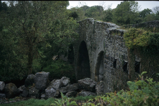 Nutfield Bridgebridge · 1417 yd
 Dromore WoodWood · 1.4 mi
 Ardcarney WoodWood · 1.4 mi
 Portlecka Castle (in Ruins)Castle, tower house · 1.6 mi
 Battle of TullyodeaBattlefield · 3.2 mi
 Mulkere MemorialMemorial · 3.7 mi
 Ennis AbbeyMuseum · 4.0 mi
 Clare MuseumMuseum · 4.1 mi